
New Zealand’s South Island offers some great bicycle touring possibilities. While I did not have the time to savour the northern third of the island, the 1400-kilometre route I followed from Christchurch to Invercargill provided more than a few memorable days.
Previous Post: Part 6 – From Queenstown To Invercargill
Bicycling South Island New Zealand: From Queenstown To Invergill and Dunedin
One sheer WOW day was the one I spent cycling the Otago (pronounced Oh tah go) Peninsula just next door to the university town of Dunedin, the South Island’s second largest city and a place with a nice mellow vibe to it.
From my base camp at a motel on George Street not far from the campus of the University of Otago, I set off on my Cannondale Touring Plus feeling much lighter than usual. I was leaving behind the four panniers and 25 pounds (11.3 kg) of gear that I had deemed important enough to take along on my Kiwi ride. All I had was my camera, a rain jacket, a couple of energy bars, and some water. What a difference it makes!
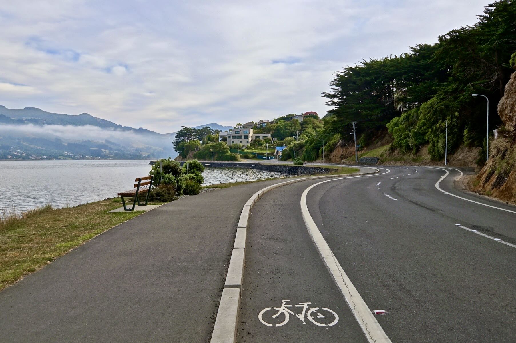
the designated bike lane at the start of the ride
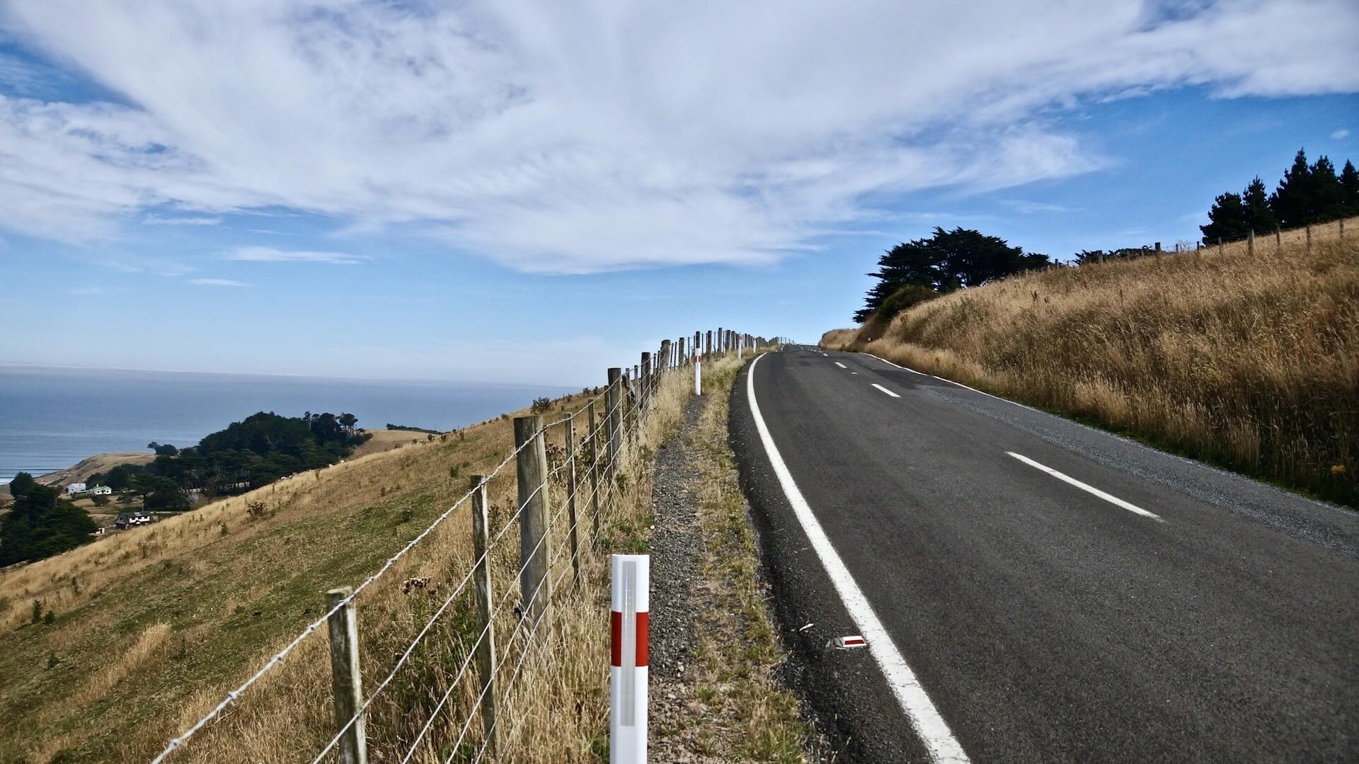
Some uphill on Highcliff Road on the way back
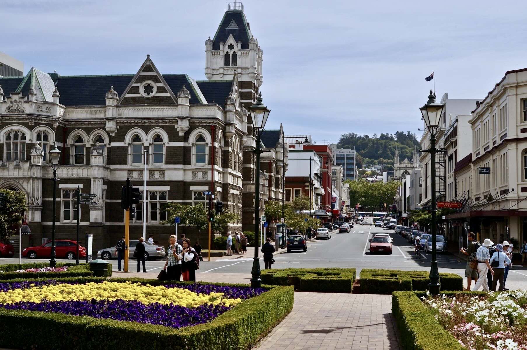
downtown Dunedin
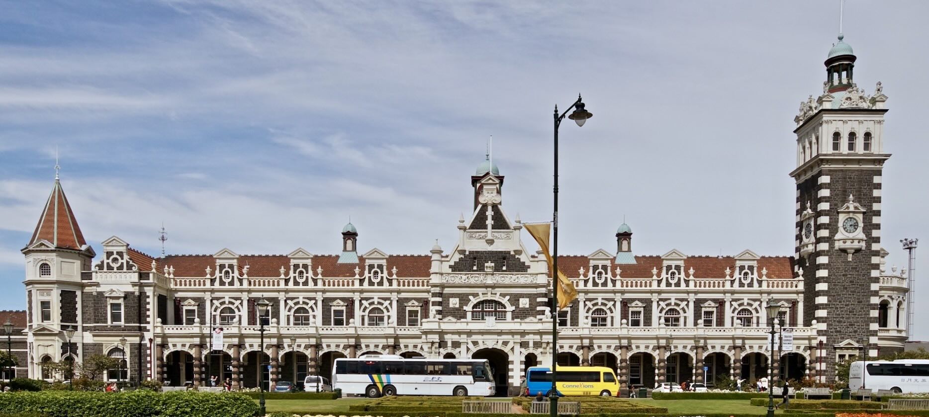
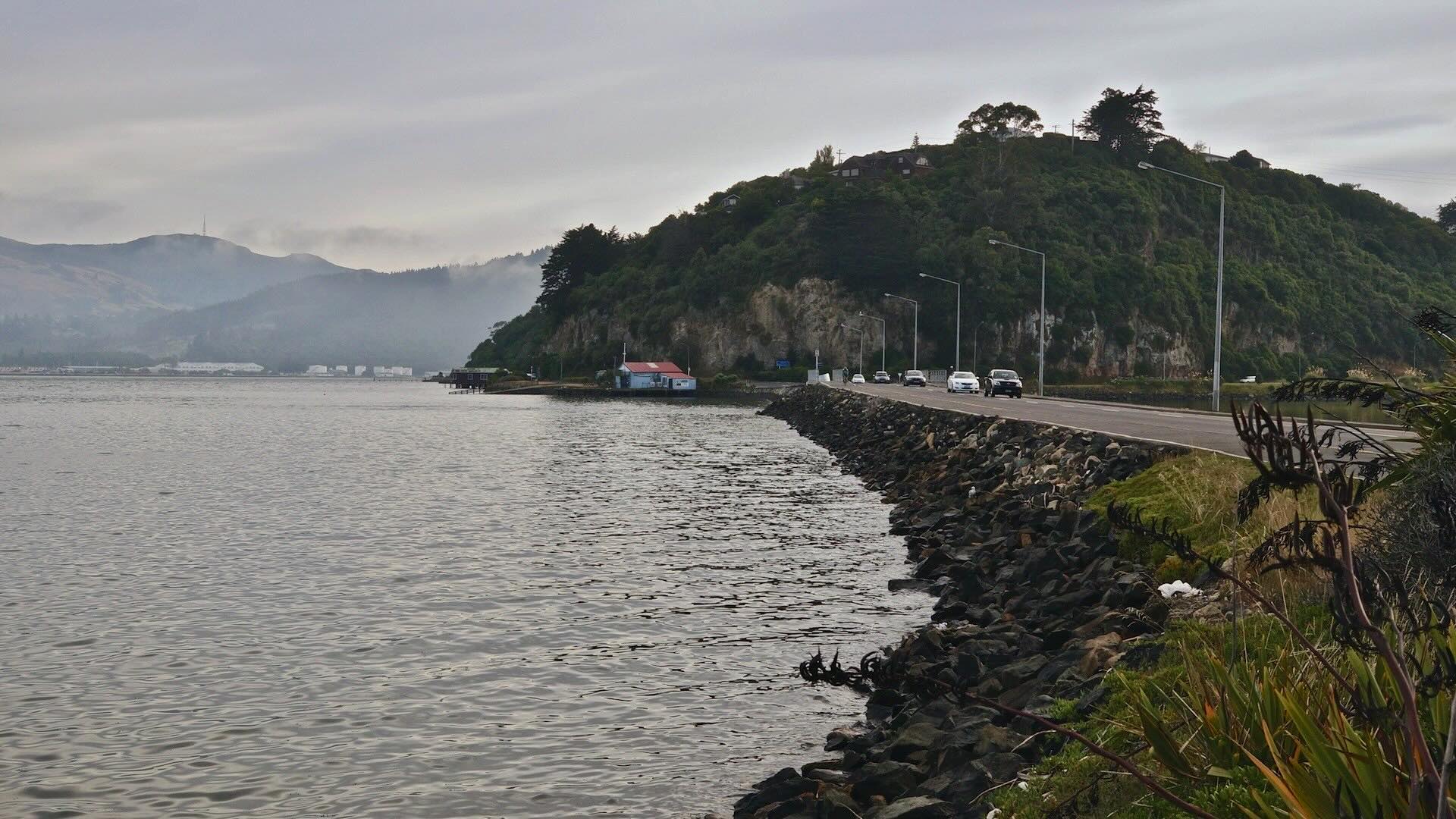
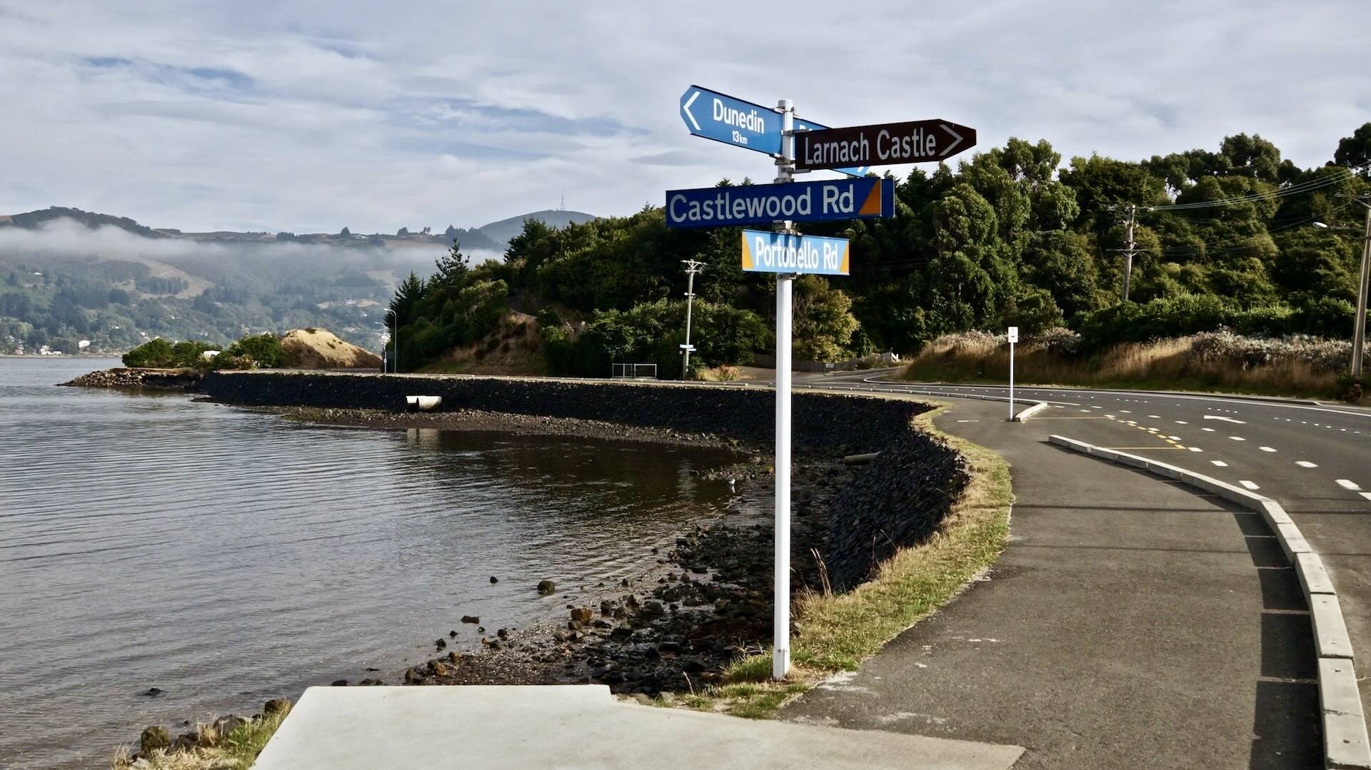
To get to the start of the Otago Peninsula, I cycled down one-way Castle Street from the north end of town and passed the train station on my left as Castle becomes High Street and then merges with Cumberland Street as it continues south. When I arrived at Jetty Street, I turned left towards the harbour and Wharf Street, with its designated bike lane. In 300 meters, Wharf Street becomes Portsmouth Drive, which takes you to Portobello Road. The most complicated part of the day is done!

leaving downtown Dunedin for the Otago Peninsula
Get ready to embrace a pretty easy 18-kilometre ride along the waterfront all the way to Portobello Bay. The traffic on the weekday morning I was there was very light; there seemed to be more traffic coming out to downtown Dunedin from the peninsula than vehicles heading in. Later in the morning, I noticed a few buses and rental vans making their way to the albatross colony at the far end of the peninsula.
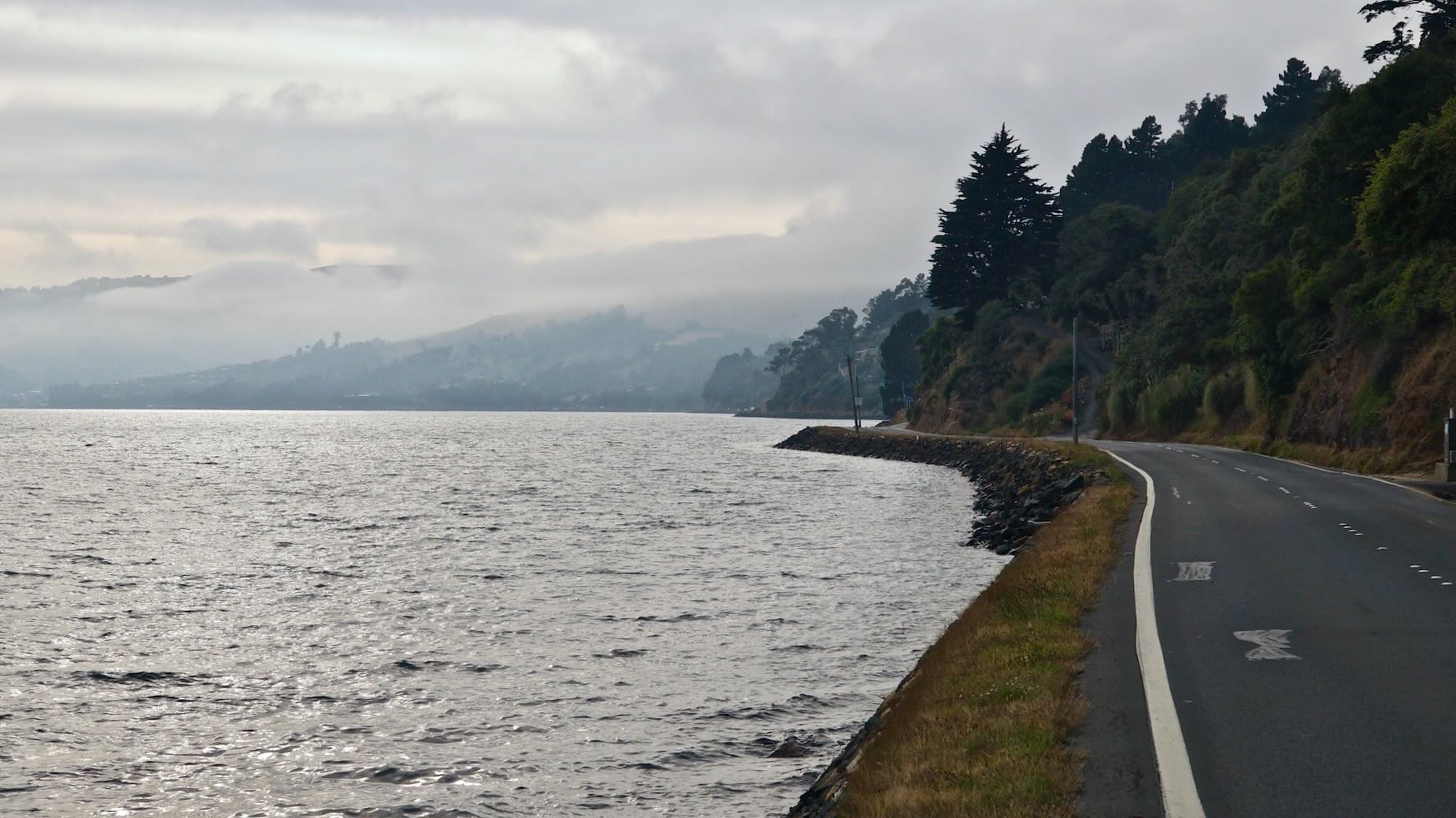
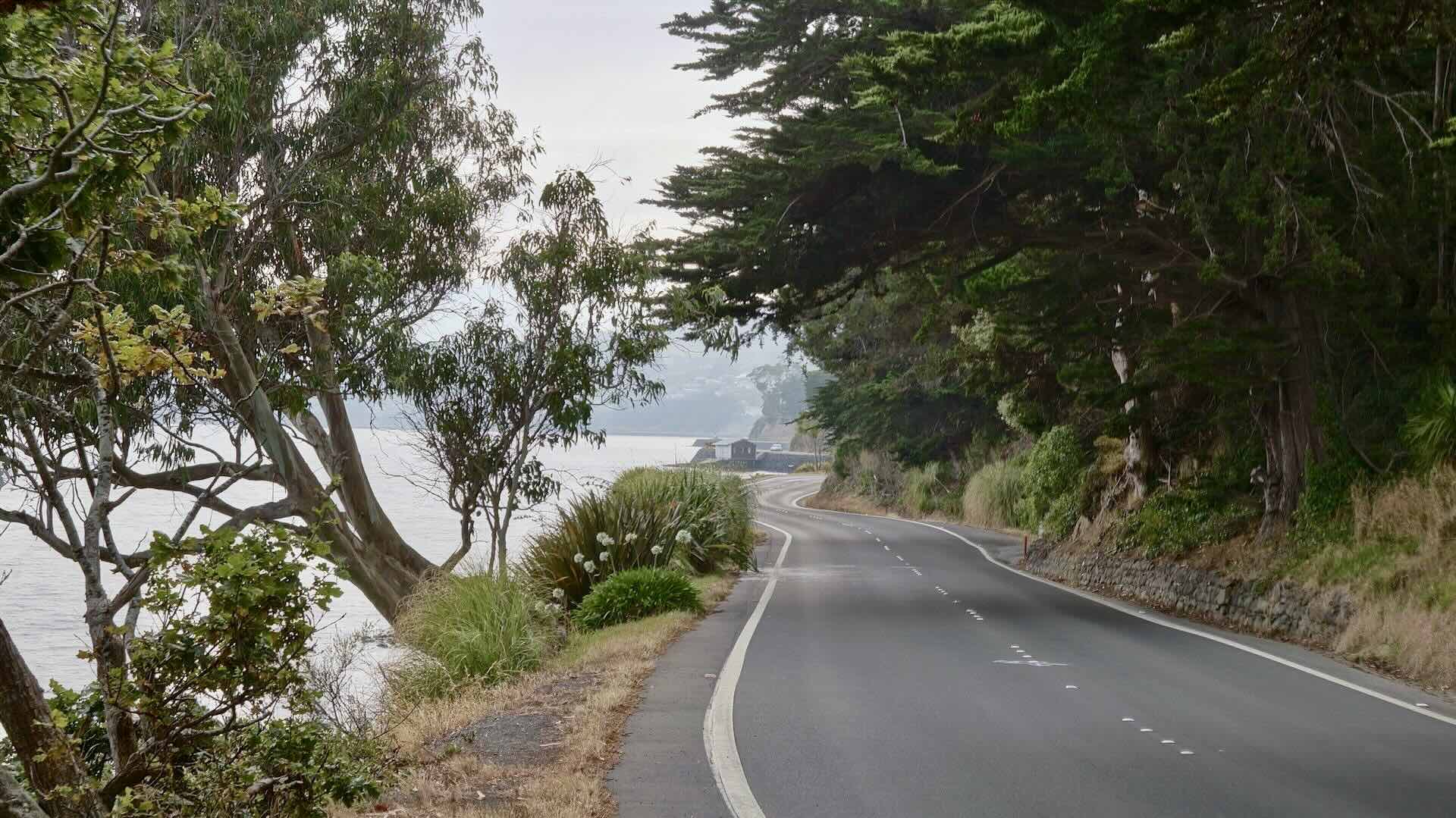
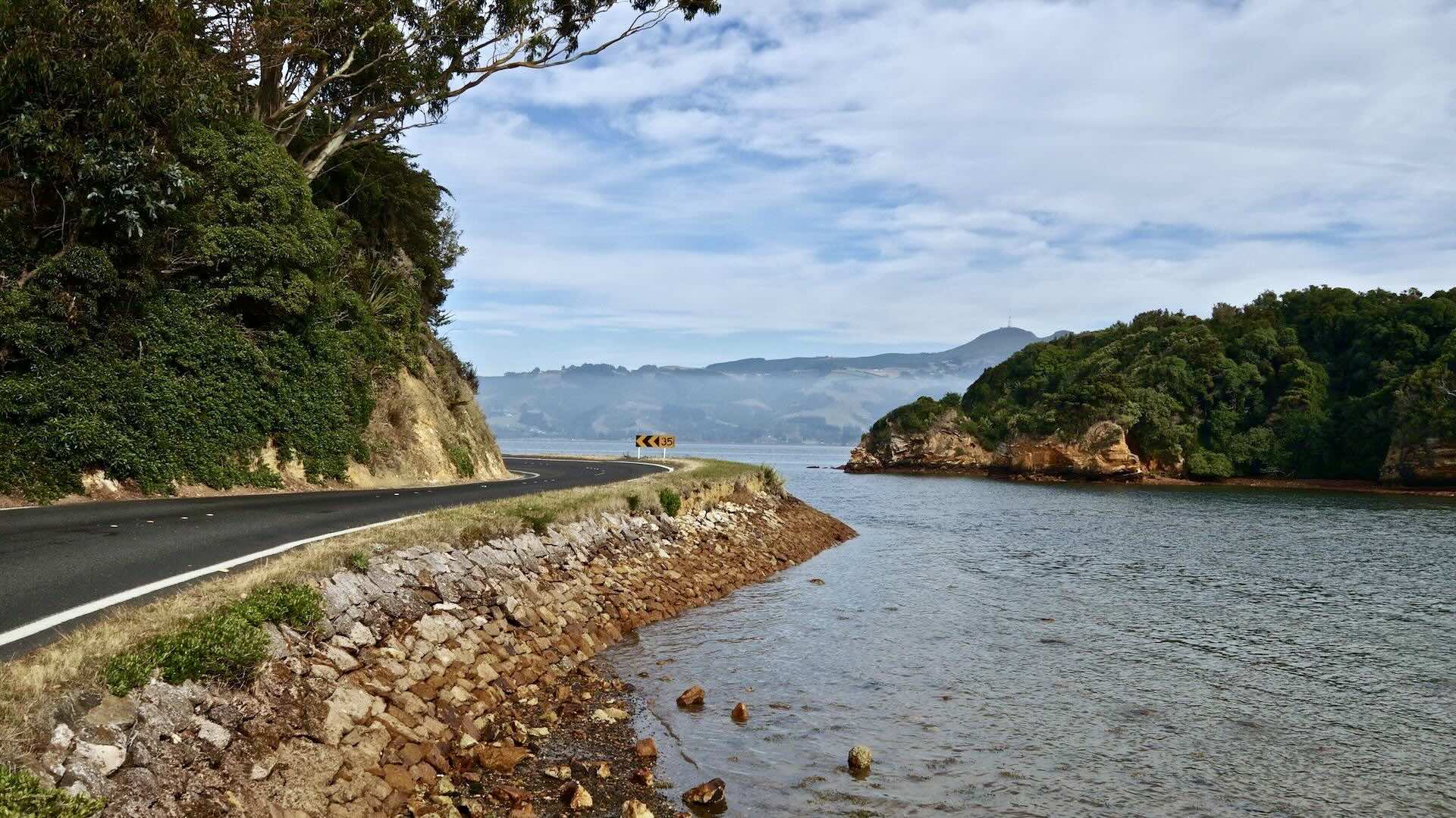
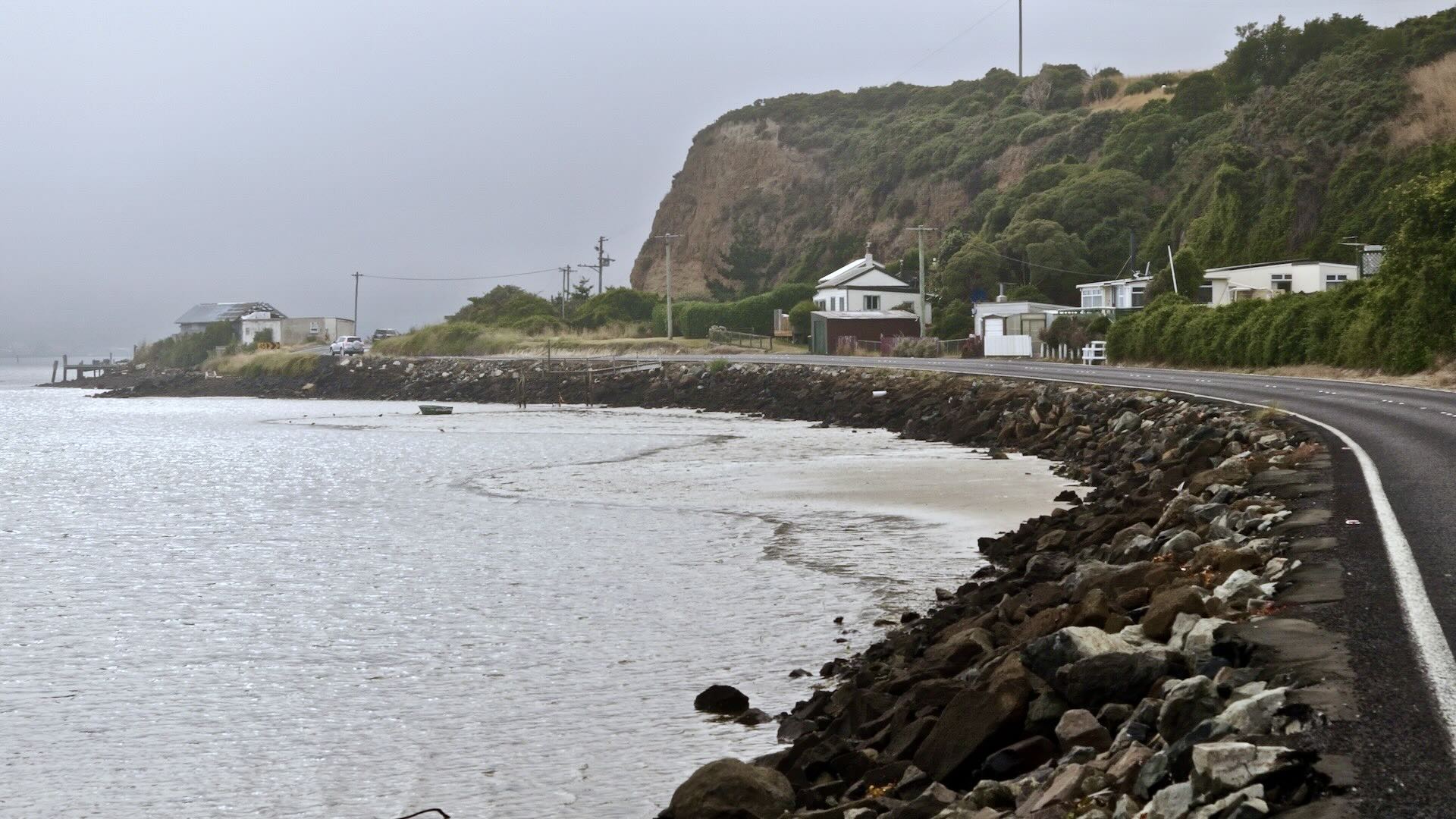
Only a cyclist will want to examine the following pix closely, as they show what the road was like – sometimes with a bit of a paved shoulder, occasionally with a dedicated bike lane, and usually quite narrow and running along the water’s edge.
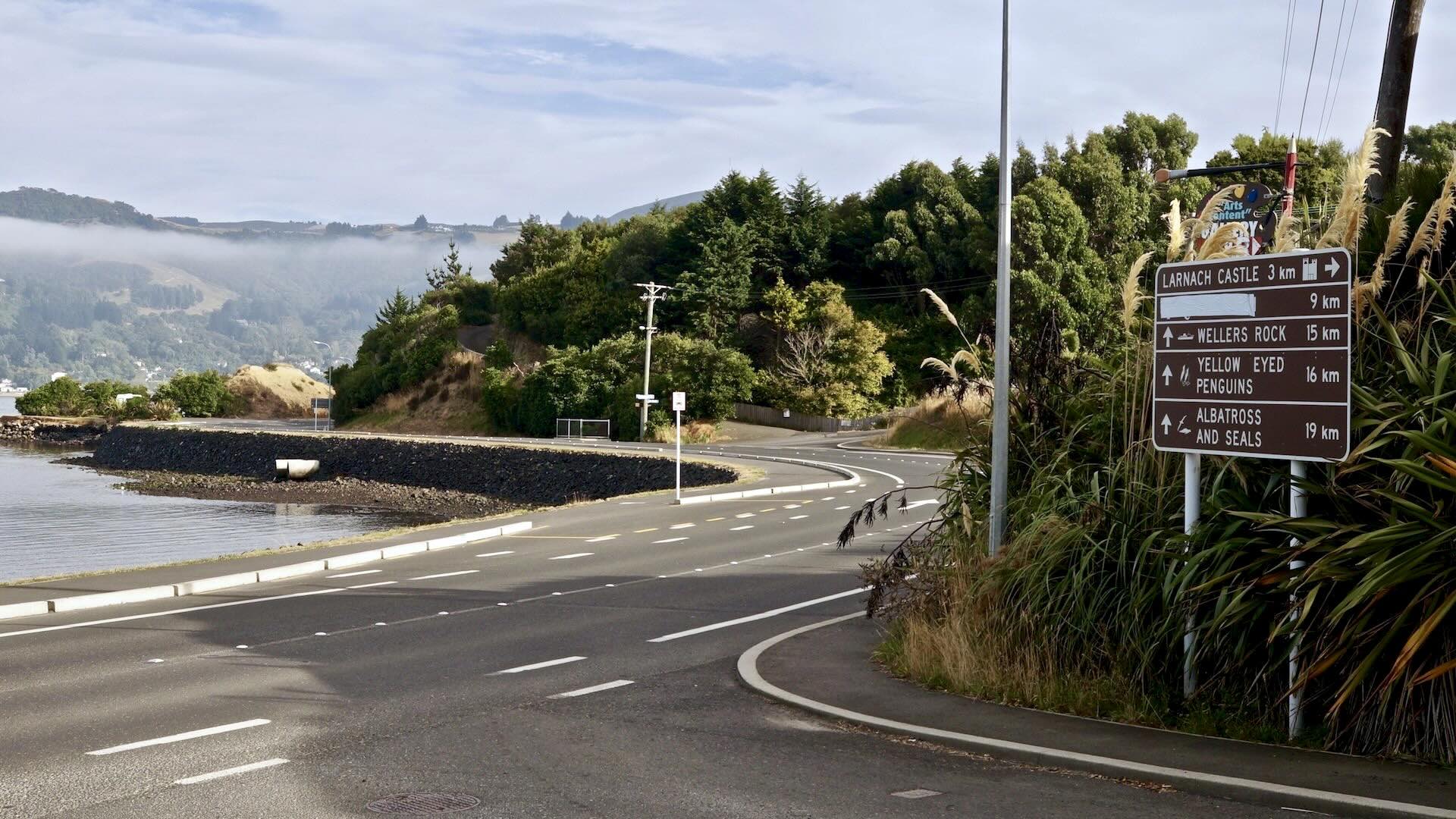
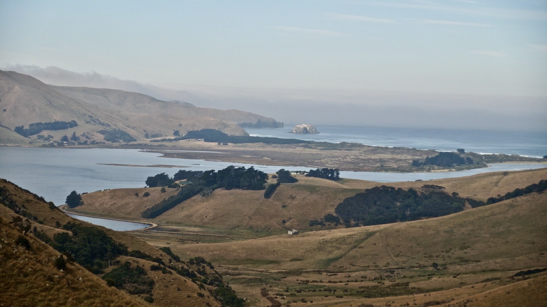
Beyond the village of Portobello, the road becomes Harington Point Road as you make your way to the Royal Albatross Colony at the northern tip of the Peninsula. If you wanted to turn your Otago Peninsula tour into a two-day affair, there is accommodation in the village that would allow you to make a leisurely day trip even more mellow. You’d have more time to get off the saddle and sample some of the beaches you cycle by!
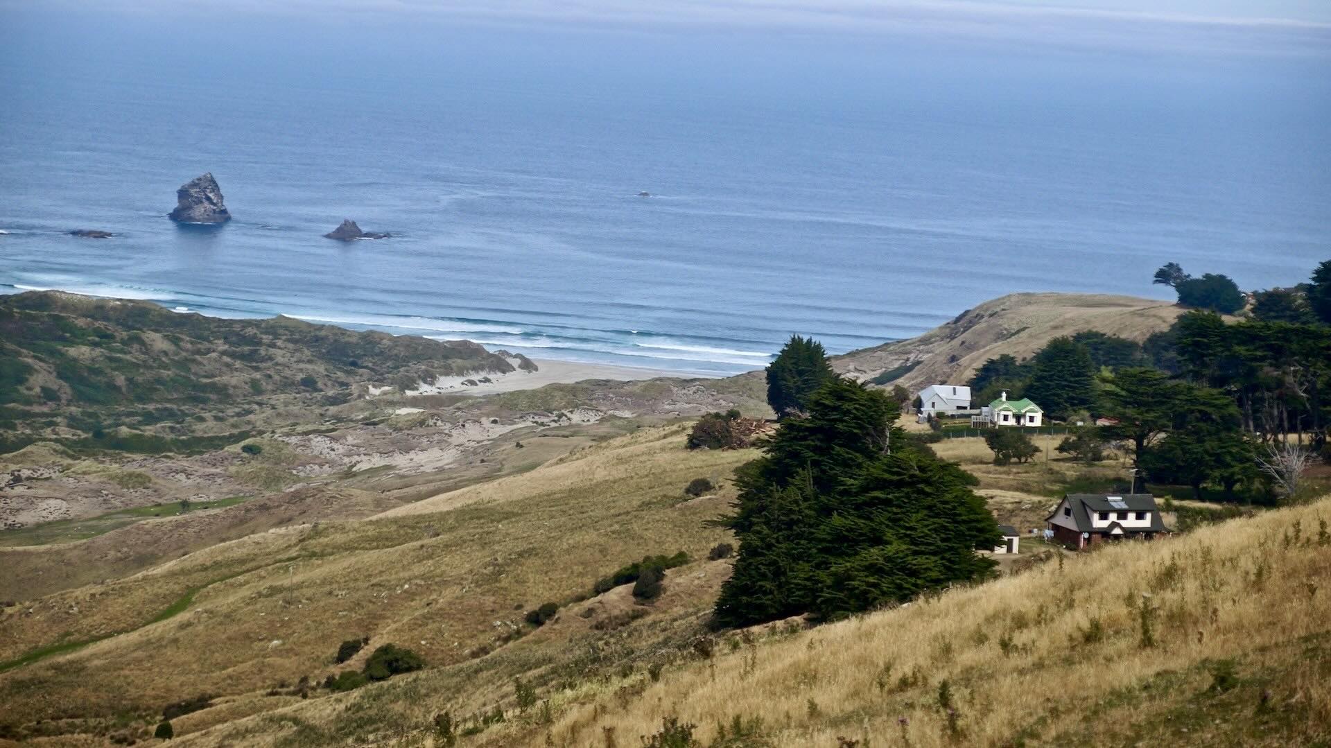
It took about two hours to cycle to the top of the Peninsula from downtown Dunedin. I didn’t stop at Portobello Village on the way, figuring I’d have lunch there a couple of hours later. After dealing with the first hill of any note, I got to the end of the Peninsula and the Royal Albatross Colony. A cup of coffee and something sweet, and I was left to consider whether to take the soon-departing tour to see the albatrosses. The ticket wasn’t cheap at $35.I ended up rationalizing it as my contribution to the upkeep of the wildlife sanctuary.
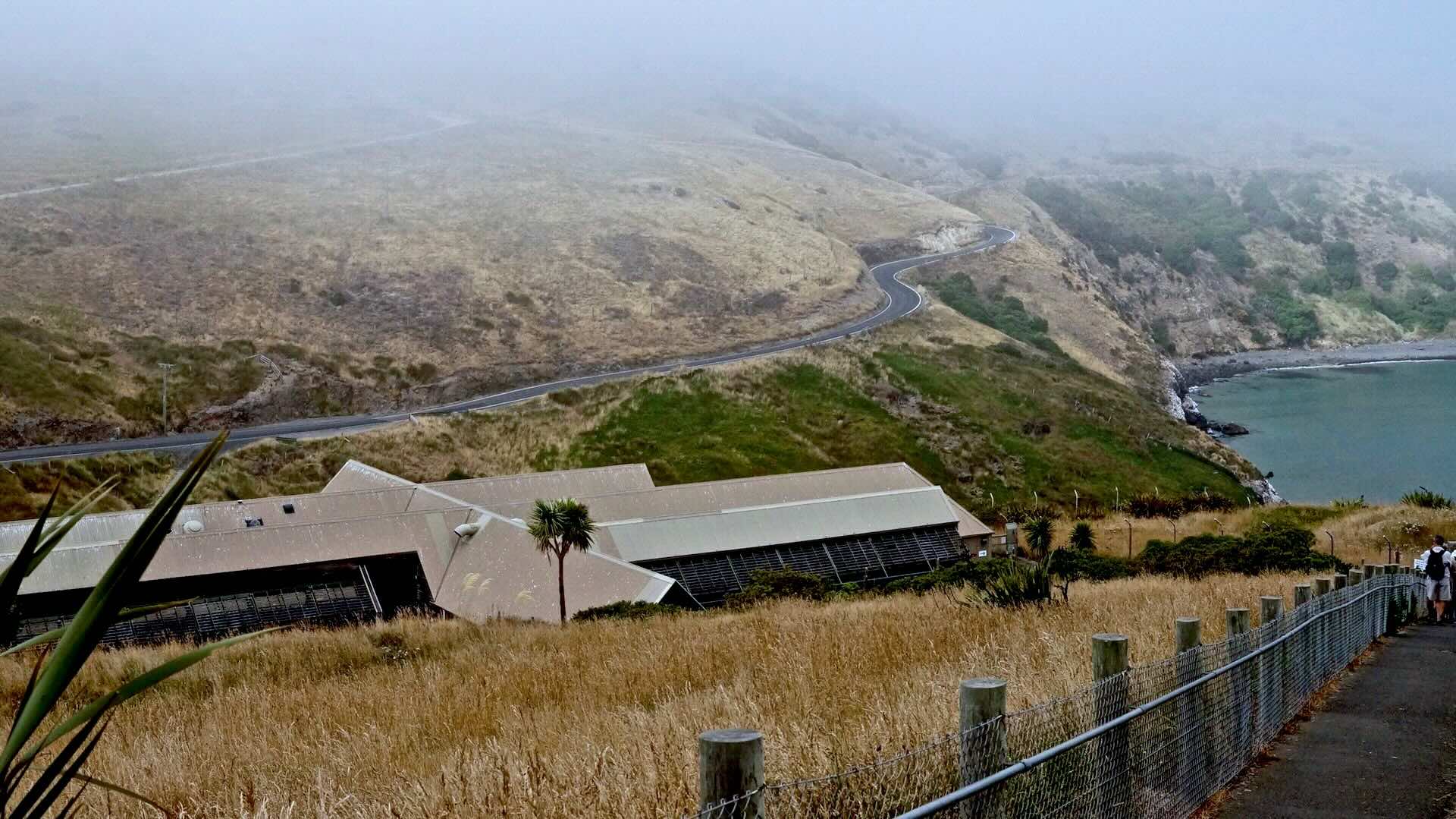
the road as it approaches the Albatross Centre
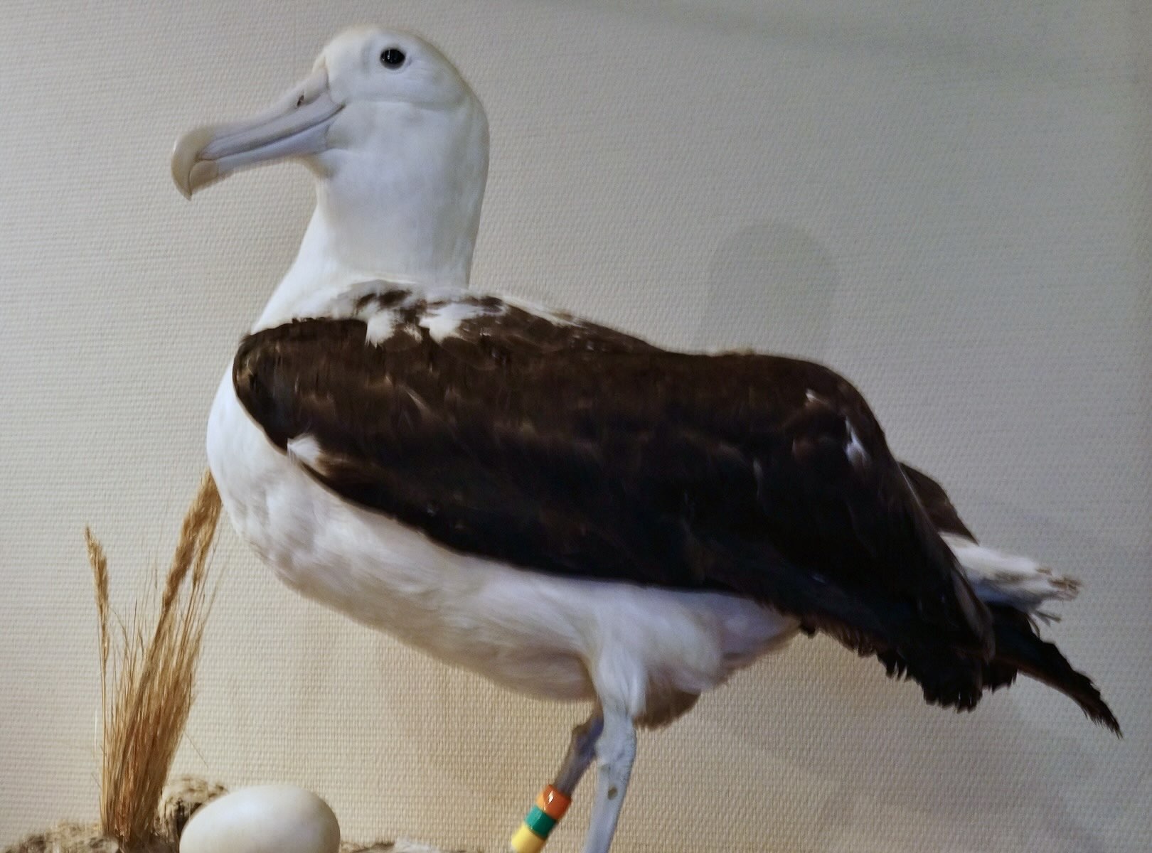
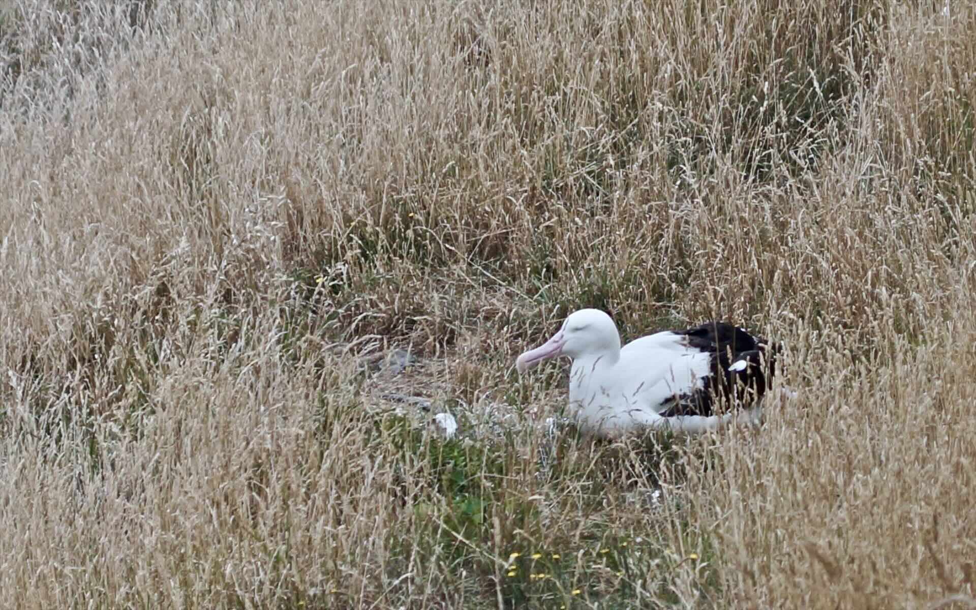
After a brief lecture in the interpretative centre, we got to wander some of the trails above the centre and kept our fingers crossed for a real live sighting! We were looking for something like this –
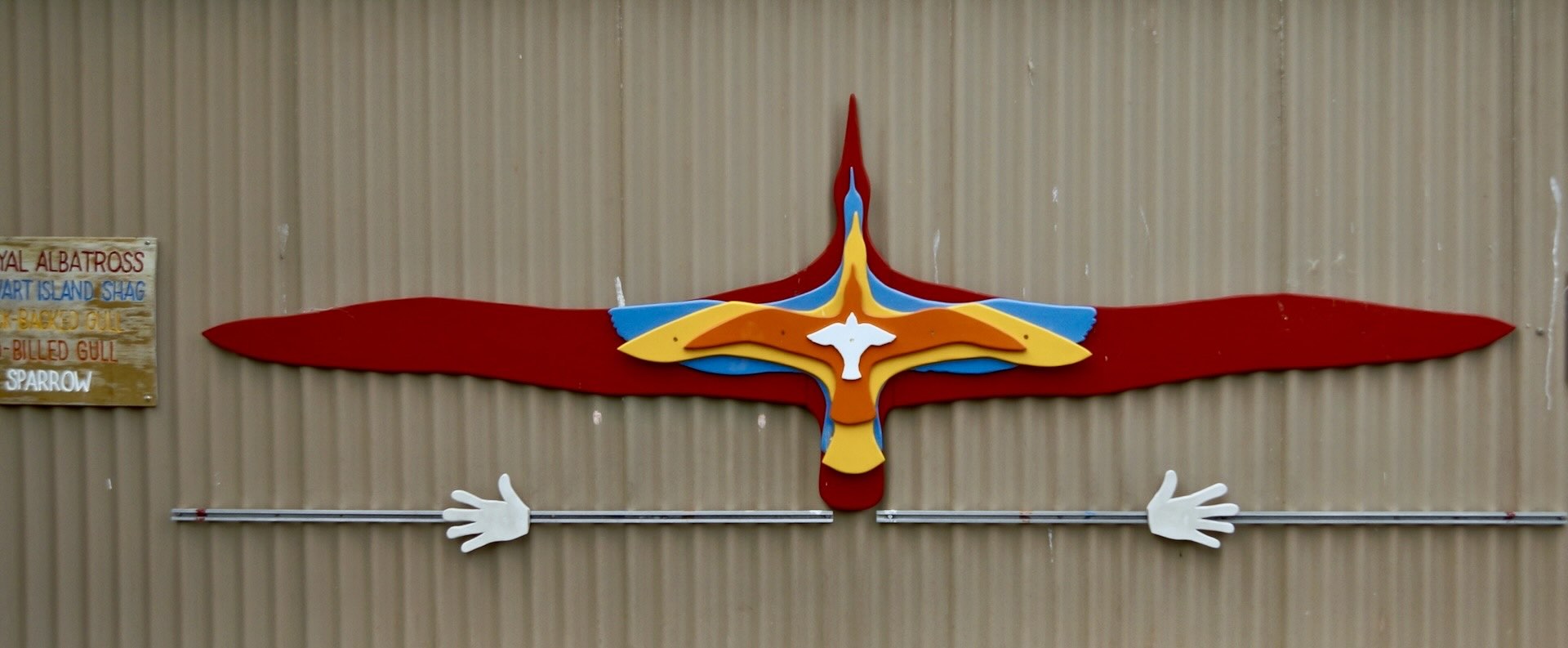
On our way out of the center, you see this graphic depiction of the relative wing spans of birds known in this area –
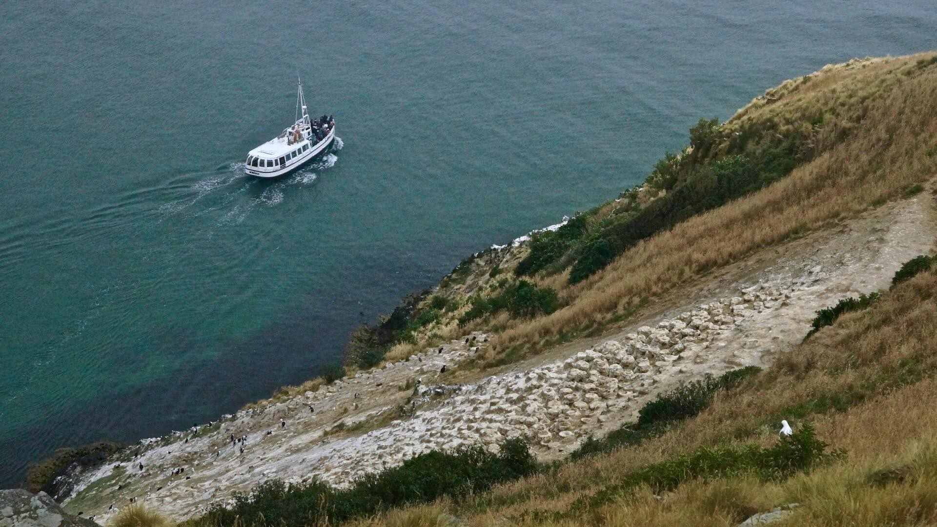
From the covered viewing station, we could see a boat providing its clients with a different perspective of the one albatross that happened to be out on view that morning!

Taiaroa Head Jail – a bit of history on a plaque
Was it worth it? Sorta. I should mention that it really is a two-for-one deal since you get to tour the military installation that was once here – pre-WWI bunkers and an impressive 150mm mounted and retractable gun all ready to blast away any threat (supposedly the Russians!) to the British Empire. It was a pleasant one-hour diversion from the main focus – the road and the water. Not far from the albatross colony was another attraction – the Penguin Place – but instead of spending another $40 on the entry fee there, I decided to head back to Portobello for more caffeine and some lunch.
On my way back to Portobello Village, I did pass by this sign – clearly not all the locals are excited about the idea of turning the roads of the peninsula into a cyclist’s dream trip! Of the half-dozen times I saw this sign on the South Island, this was the only one that was defaced. (The cyclist to the left of the car has been painted over, as has the word “share” in “share the road”.)
I saw no other cyclists on the roads of the Peninsula that day, and the traffic seemed quite light. A weekend would bring out more vehicles and cyclists and perhaps create more tension on the roads.

Share The Road – NOT!
Following the road as it climbs around the corner from Taiaroa Head, I was soon rewarded with a downhill stretch; the ride back to Portobello Village presents no real challenges, and it the village cafes provide a chance to fuel up!
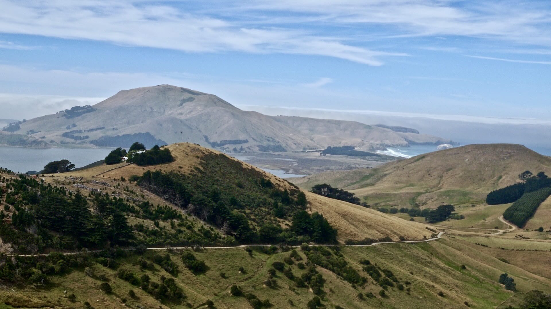
Then came the real challenge of the day – but also the most stunning views. From the turn off to High Cliff Road in Portobello to the top of the road is 9.2 km of mostly uphill with a total elevation gain of 385 meters.
The reward is an equally long downhill blast back to Dunedin!
On the way back to Dunedin, just 3 kilometres up the Highcliff Road is Larnach Castle. I cycled right up to the entrance post. However, the $48NZ entry fee and an entry guard who wasn’t too keen on me leaving my bike with him for a couple of moments while I went inside to take a few photos meant I turned back to High Cliff Road

- The weather,
- the fact that I was not riding with my usual 25-pound touring load
- the variety of stunning views, the mostly traffic-free roads –
made this one of my favourite days of cycling on the South Island. It rivals the day I spent cycling from Wanaka to Queenstown via the Cardrona Road or the one I spent going over Arthur’s Pass to Greymouth.
I ended the day a bit early because I had arranged to drop off my rental bike at a bike shop on Stuart Street before closing time. I had rented the bike in Christchurch almost three weeks before. The next morning, I would be on the bus back to Christchurch and the return flight to Toronto.

(Instead of bringing my own bike from Canada, it was almost as cheap and much more convenient to rent one in Christchurch. The company – Natural High – provided a great bike – a Cannondale touring bike – at a reasonable price. If the logistics and hassle of taking your own bike puts you off of a Kiwi bike trip, consider the rental option. I did bring the following:
- my panniers,
- front handlebar bag,
- helmet, my 1990s vintage Brooks saddle,
- bike shoes and
- Shimano SPD pedals.
After the bike drop-off, I stopped at a pub on the Octogon for a pint to celebrate not just a day’s worth but three weeks’ worth of the best cycle touring I have experienced anywhere. It has me thinking of a return to NZ! There is always the North Island, and the part of the South Island to the north of Christchurch that get rare reviews from fellow cyclists.

—————–
If you want to see how I got to Dunedin from Christchurch, the following posts provide the details:
Crossing the Southern Alps – From Christchurch to Greymouth
Bicycling South Island New Zealand:: Christchurch to Greymouth
The West Coast Road (From Greymouth to Haast)
Bicycling South Island New Zealand: The West Coast Road From Greymouth to Haast
Over the Southern Alps Again – From Haast to Queenstown
Bicycling South Island New Zealand: From Haast to Queenstown
To Southland and the Otago Peninsula
Bicycling South Island New Zealand: From Queenstown To Invergill and Dunedin
Bicycling New Zealand: Planning a Three-Week Tour of South Island
——————-

Useful Links:
Wikipedia has informative entries on both the Otago Peninsula and on Taiaroa Head that provide a good introduction to the area.