Since January 1, 2024
Recent Comments
Most Viewed Posts & Pages (last 48 hours)
Tag Archives: Temagami rock paintings
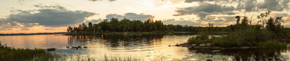
Anishinaabe Pictograph Sites In Ontario
Last updated: August 10, 2023. Northern Ontario has the most extensive and richest collection of Indigenous pictograph sites in Canada. Any of the following locations would provide a great introduction to Anishinaabe rock paintings. Quetico Provincial Park Lake of the … Continue reading
Posted in Anishinaabek World, Pictographs of the Canadian Shield
Tagged aboriginal pictographs Ontario, Agawa Rock pictographs, Algonquin rock paintings, Anishinaabeg art, Before and After the Horizon - anishinaabe pictographs, Bloodvein rock paintings, Bon Echo pictographs, Cliff Lake rock paintings, Diamond Lake pictographs, First Nations paintings, Lake of the Woods pictographs, Missinaibi rock paintings, native rock paintings Ontario, Obabika rock paintings, Ojibway rock paintings, Quetico master map pictographs, Quetico rock paintings, Temagami rock paintings
29 Comments