Since January 1, 2024
Recent Comments
Annabella mathews on Eastern Ontario Bicycle Tour:… John Mark on Eastern Ontario Bicycle Tour:… true_north on Robert Bell’s Lady Duffe… Anonymous on Robert Bell’s Lady Duffe… true_north on Paddling Down The Little Jackf… Anonymous on Paddling Down The Little Jackf… true_north on Paddling Down The Little Jackf… William Bell on Paddling Down The Little Jackf… true_north on A Two-Day Paddle Up Wabakimi… Ron McEwen on Up The Humber And Down The Don… Most Viewed Posts & Pages (last 48 hours)
Tag Archives: Friends of French River map
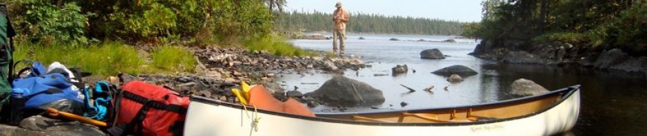
Canoeing Georgian Bay’s French River Delta: Logistics, Maps, & Day 1
Last update: February 23, 2024. Table of Contents: Setting The Scene – A Bit of History Print Sources Worth Checking Out Where To Start Your Trip Maps Official FRPP map – 2021 Edition Garmin Topo Canada David Crawshay’s Topo Canada … Continue reading