
Table of Contents:
- Route Option #1: The Catlins Tour
- Route Option #2: From Queenstown to Mt. Cook Village
- What Actually Unfolded
Day-Day Day Report
- Day 12: Queenstown to the Mavora Lakes via the Walter Peak Road
- Day 13: The Mavora Lakes Campground to Te Anau
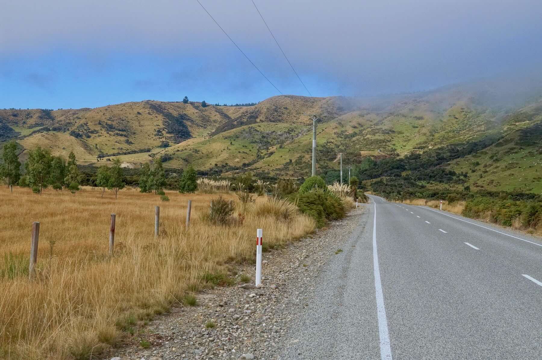
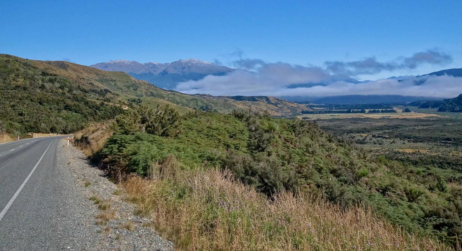
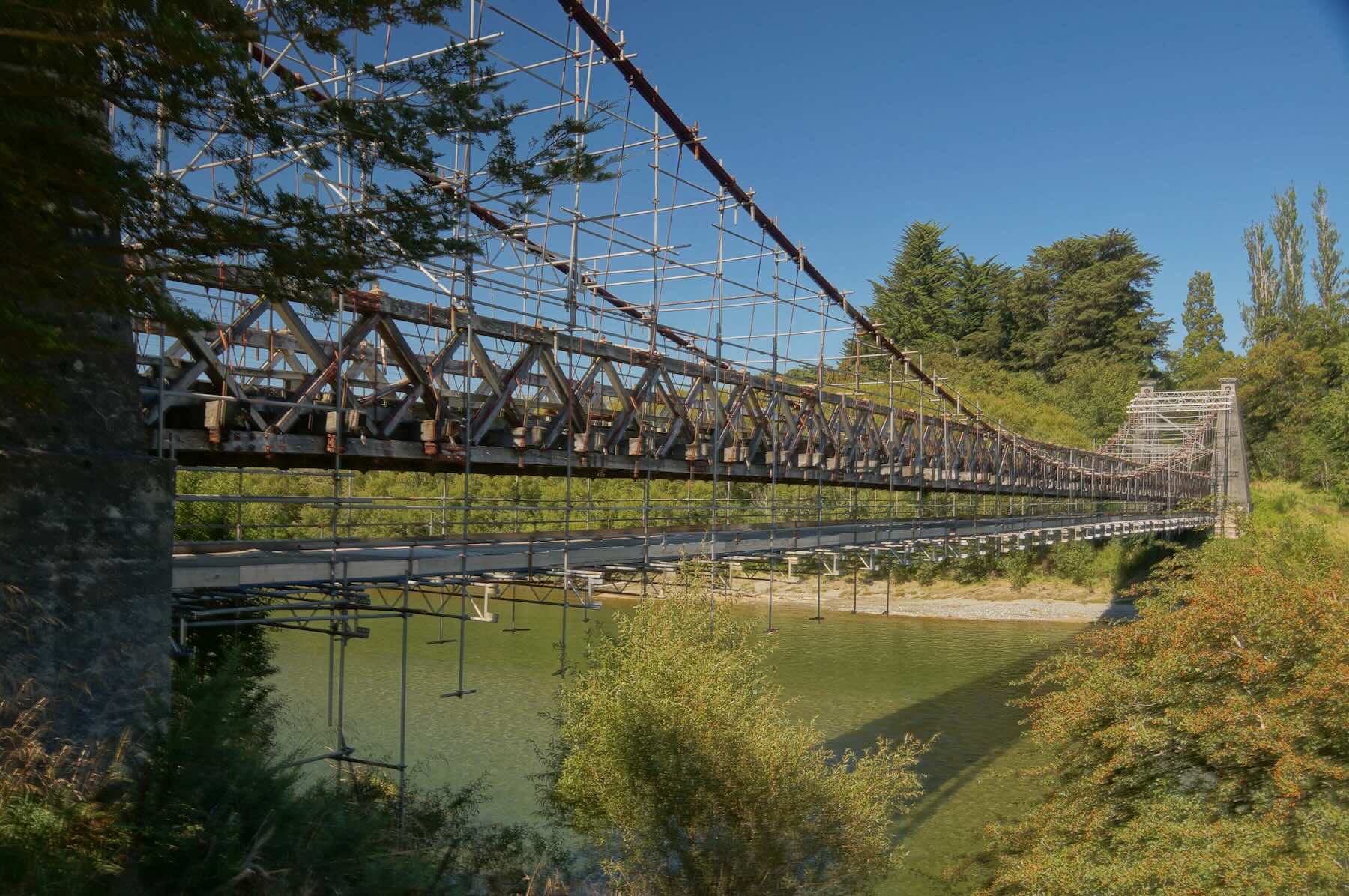
- Day 14: Te Anau to Tuatapere
- Day 15: Tuatapere to Invercargill
- Day 16: Invercargill to Gore
- Day 17: Gore To Dunedin via the Bus
—————
Route Choices From Queenstown
Unsure about my route once I reached Queenstown, I had brought along a tent, a sleeping bag, and a Thermarest pad in case my plans included an emergency rough camp. Total extra weight – 3.5 kg. To this point, I had slept in hostels or motels since Christchurch.
I had two basic routes in mind as I looked over the map in the Queenstown coffee shop.
———
Route Option#1: The Catlins Tour
———
Route Option # 2: From Queenstown to Mt. Cook Village
This route gives the most Wow for my efforts. From Queenstown, I would make my way to Twizel (Twhy-zul) via Cromwell and then follow the road on the west side of Lake Pukaki to Mount Cook Village. Coming back down the Pukaki Road, I’d make follow the Waikaki River and pass all the dams down to Oamaru on the coast The reward here would be more mountains and hills and glacial lakes, never a bad thing.
—————
The Actual Ride – Queenstown To Invercargill To Gore Via The Mavora Lakes
Previous Post: Part Five – Over The Haast Pass To Queenstown
Bicycling South Island New Zealand: From Haast to Queenstown
I ended up going with Option #1. Well, at least I did until I got to Invercargill. A spur-of-the-moment change in plans led me to cycle to Gore on Highway 1 instead of heading deep into the Catlins. The date on my return ticket to Toronto was coming up fast!
After a nerve-wracking day spent on the admittedly generous paved shoulder of SH1 to Gore, I knew that another two days of SH1 to Dunedin was not going to be much fun. The solution? The next morning a 9:30 bus had my bike and me in Dunedin by 12:30.
It was the right choice – I got a day off the saddle and spent the next day doing a 60 km tour of the Otago Peninsula with my load-free bike.
—————
Day 12: Queenstown to the Mavora Lakes via the Walter Peak Road

panorama of Queenstown and Lake Wakatipu from Bob’s Peak

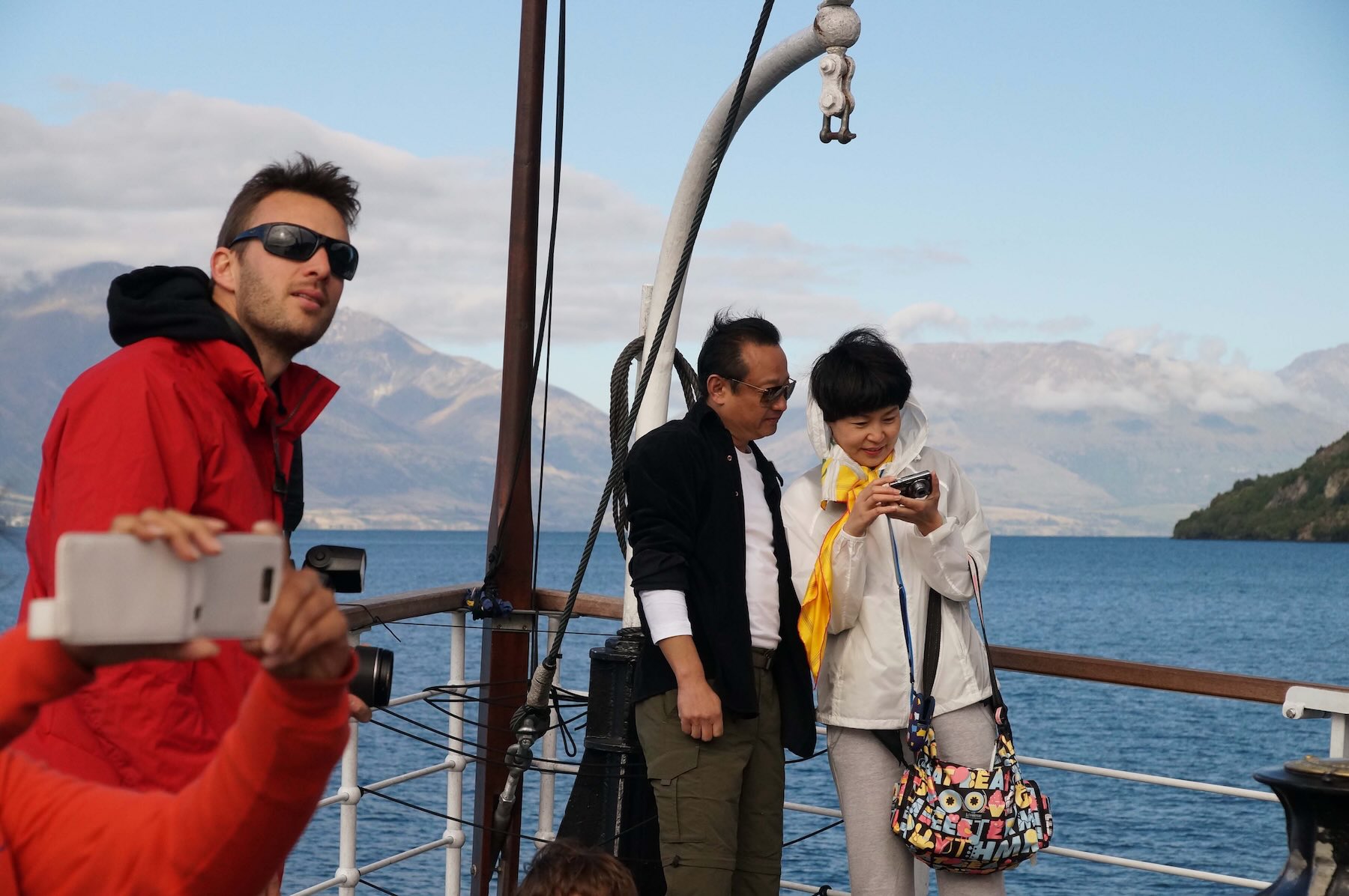
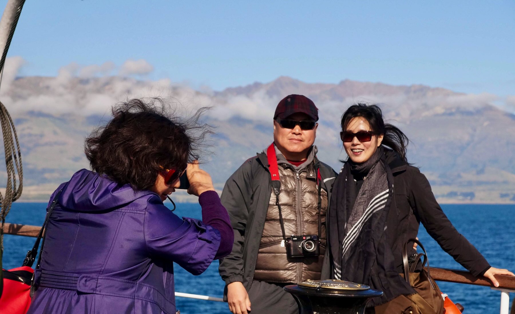
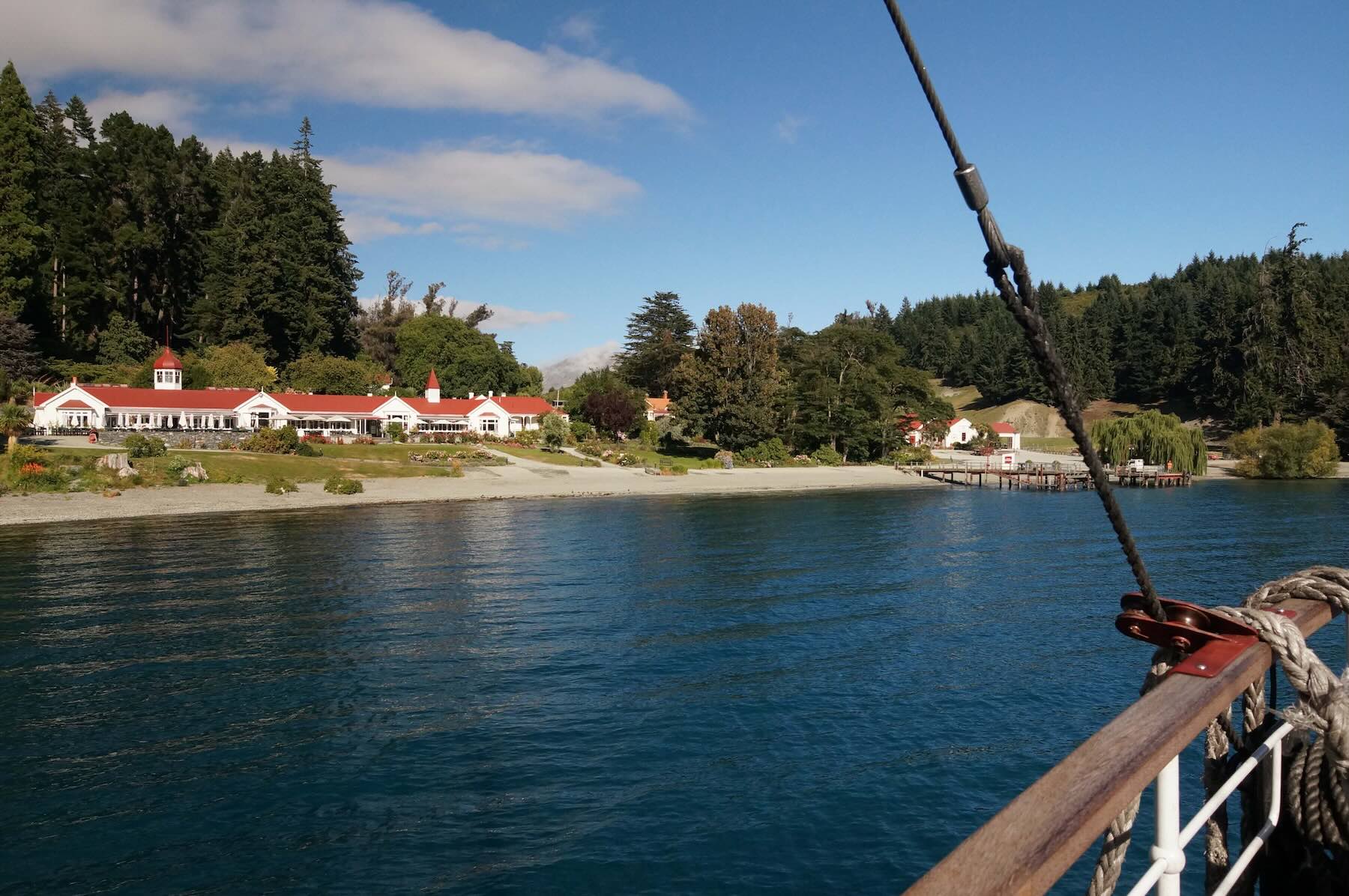
The TSS Earnslaw was being readied at the wharf on the waterfront as I cycled over from my room at the Lakefront YHA hostel. It was another clear and sunny day and I was looking forward to a different kind of ride this day – the all-gravel road that would take me from Walter Peak to the Mavora Lake campground on my way to the highway to Te Anau.

my loaded touring bike waiting at the wharf for the TSS Earnslaw trip to Walter Peak


The TSS Earnslaw coal steamer at the Queenstown wharf

steaming our way to Walter Peak Station from Queenstown

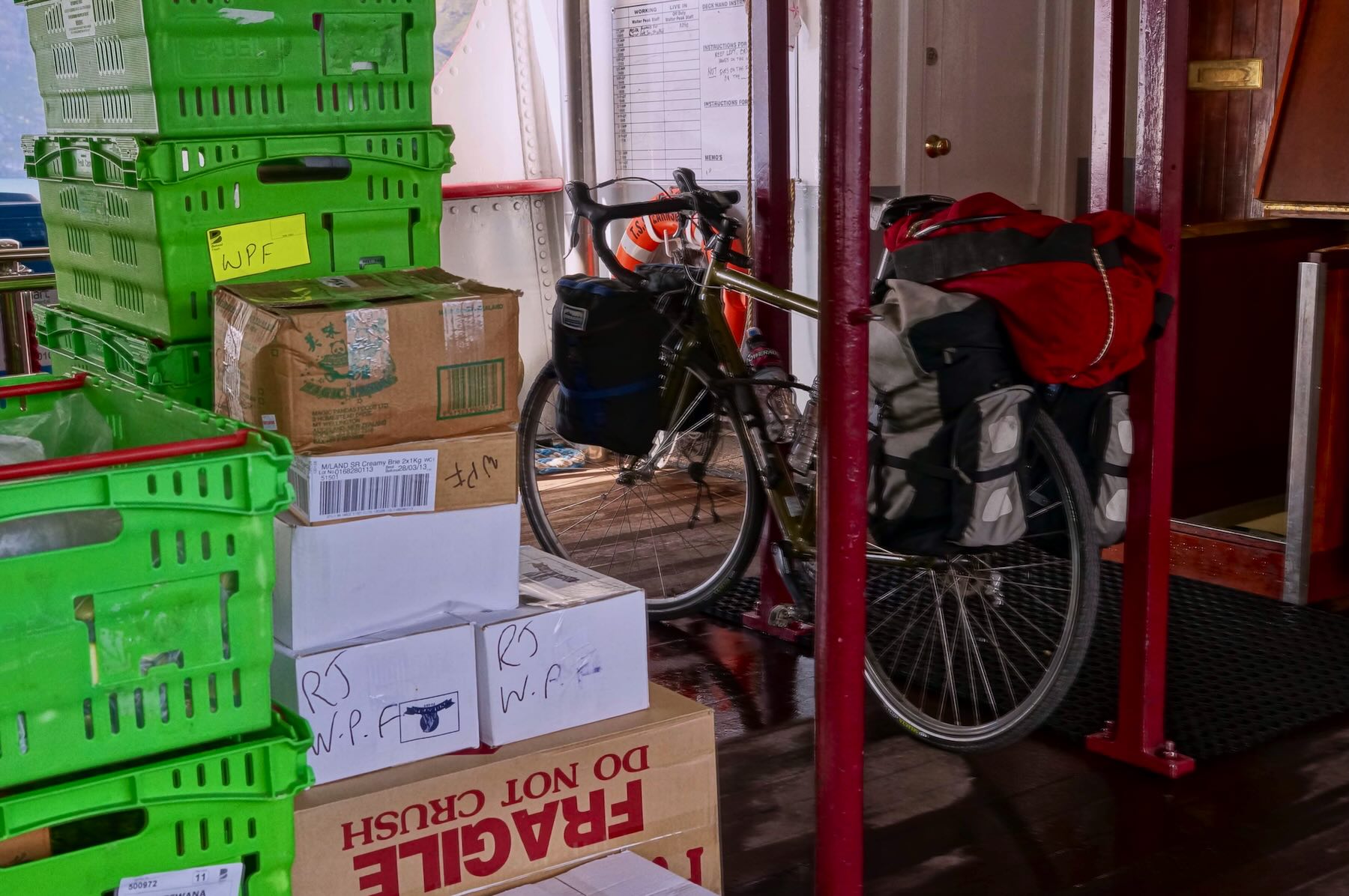
my bike – a Cannondale Touring 2 rental – on the storage deck on the TSS Earnslaw

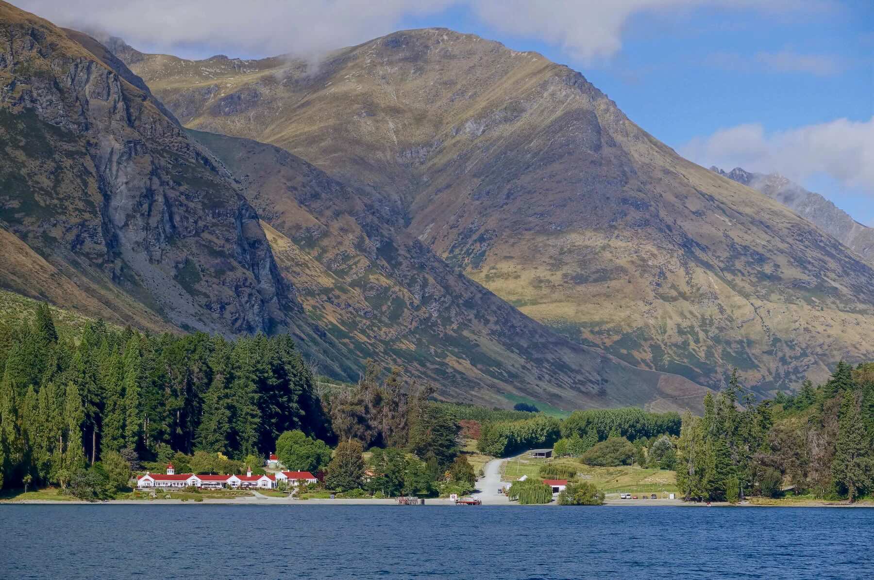
the Walter Peak High Country farm and the dock

The road leading away from Walter Peak Farm

warning sign on the Walter Peak-Mount Nicholas Road
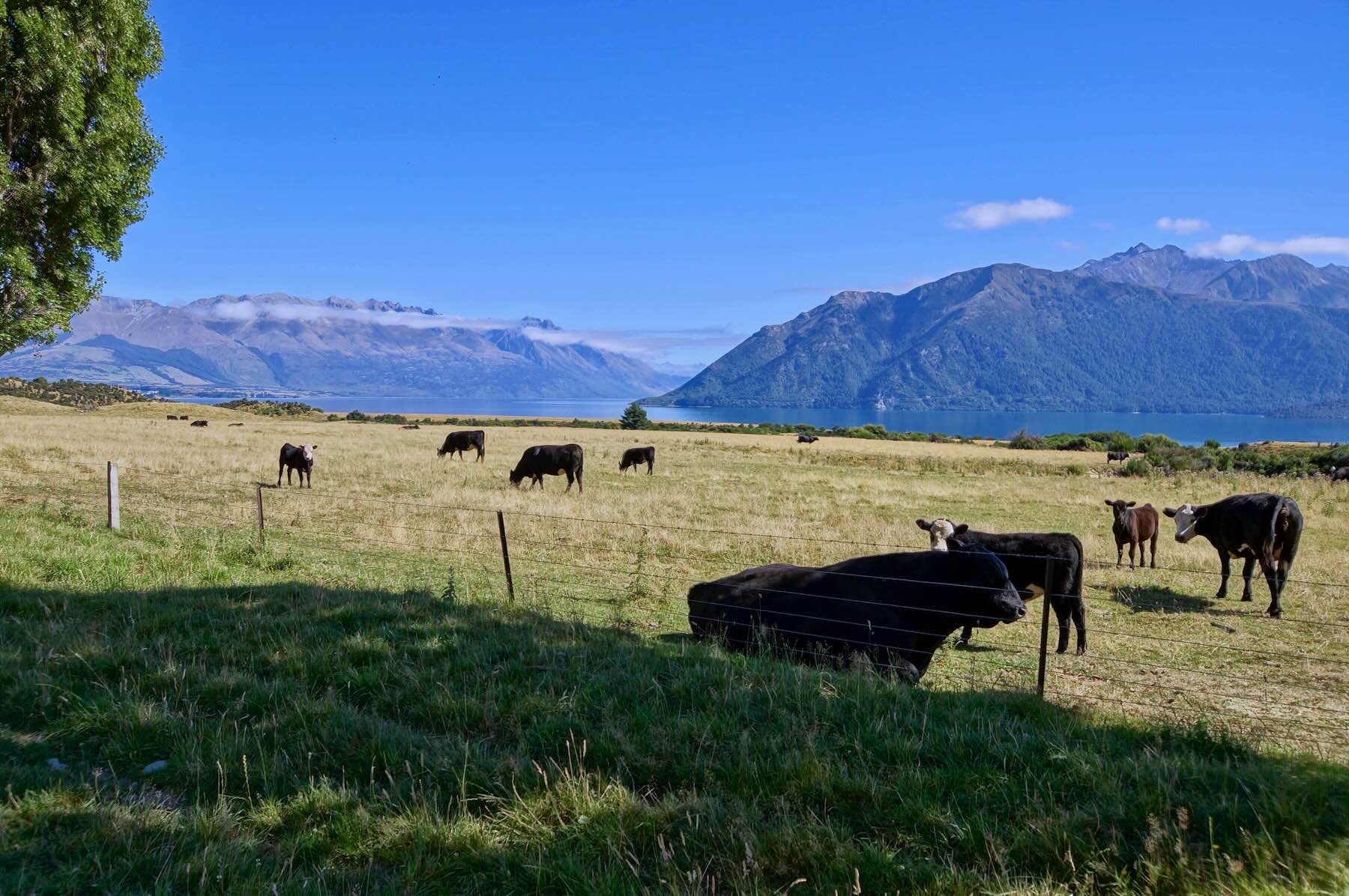
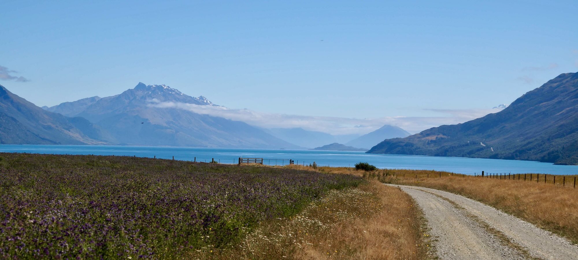
view of Lake Wakatipu before turn up the Mount Nicholas Road on the Von Road

great view – White’s Bay from Walter Peak/Mount Nicholas Road
another beautiful view near Mount Nicholas Farm on the Von Road
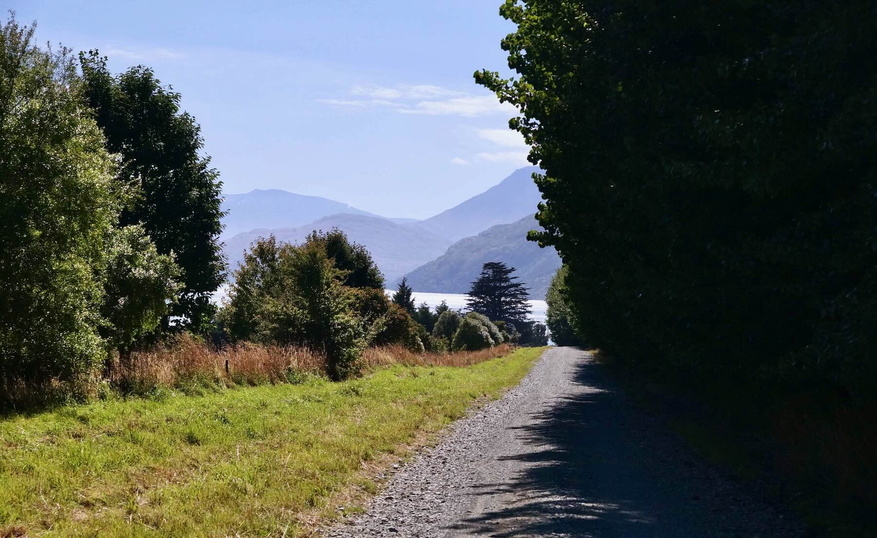
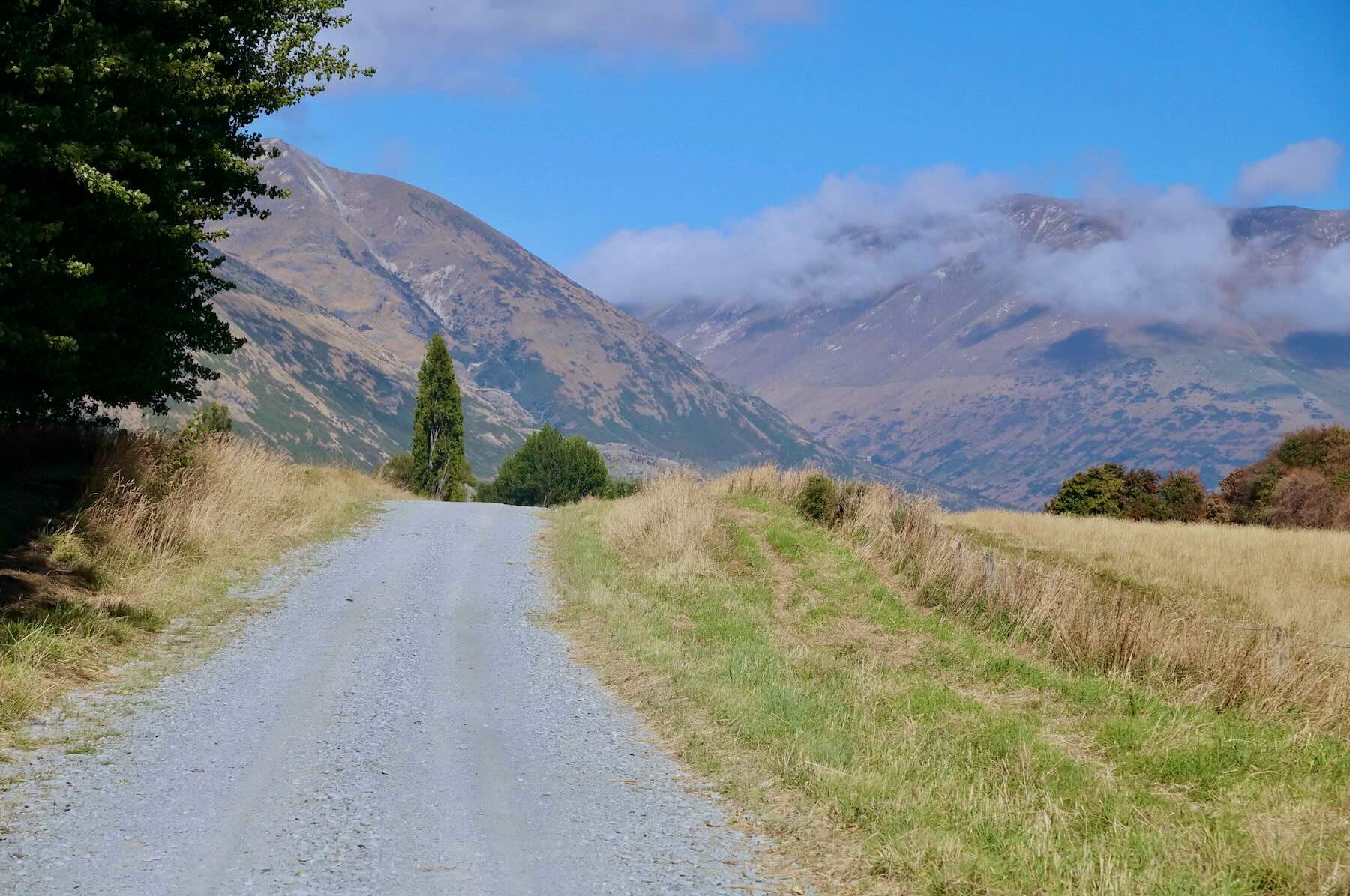
heading south ont he Von Road away from Mt. Nicholas

Elevation range Walter Peak to the Mavora Lakes
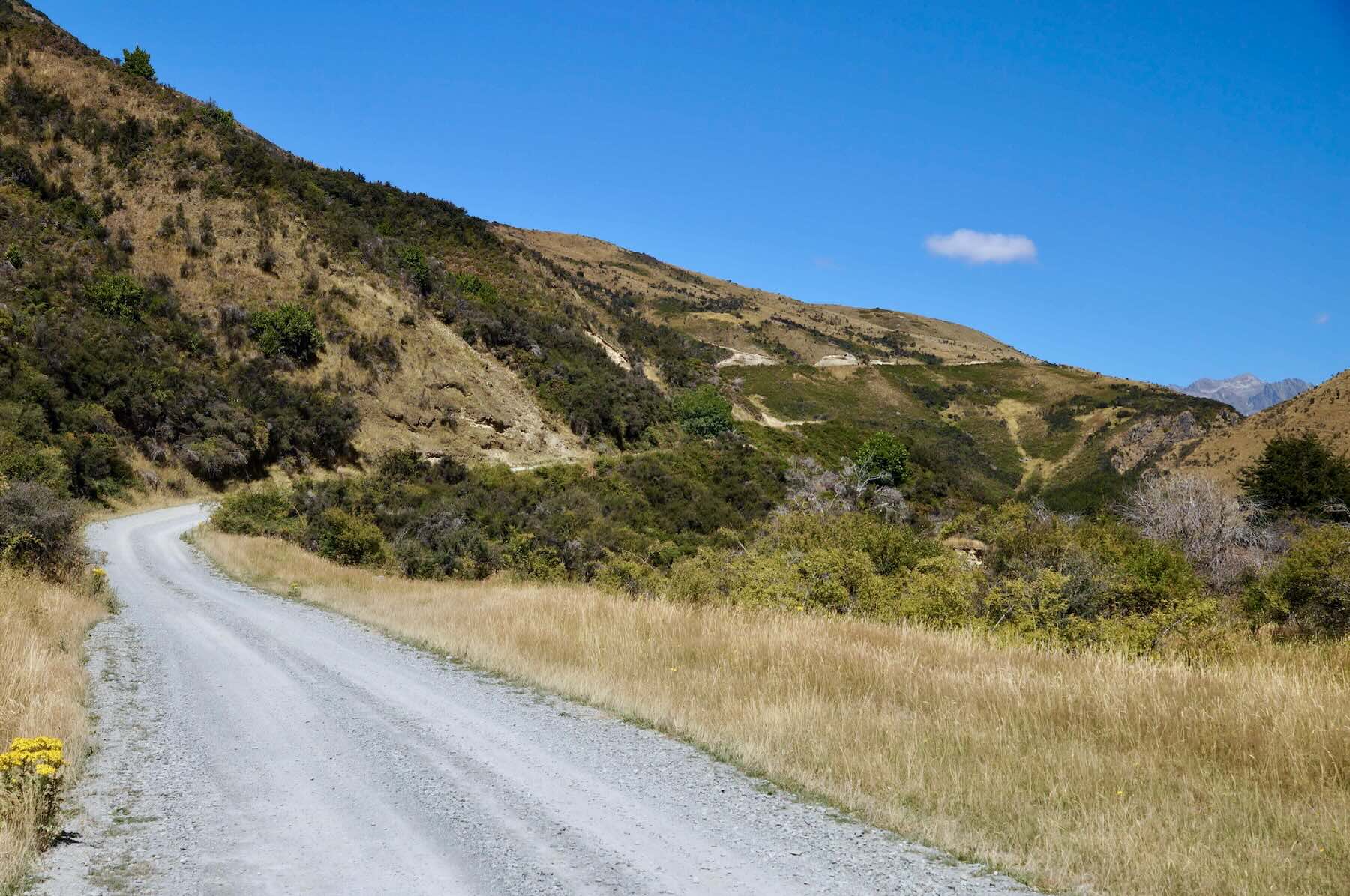
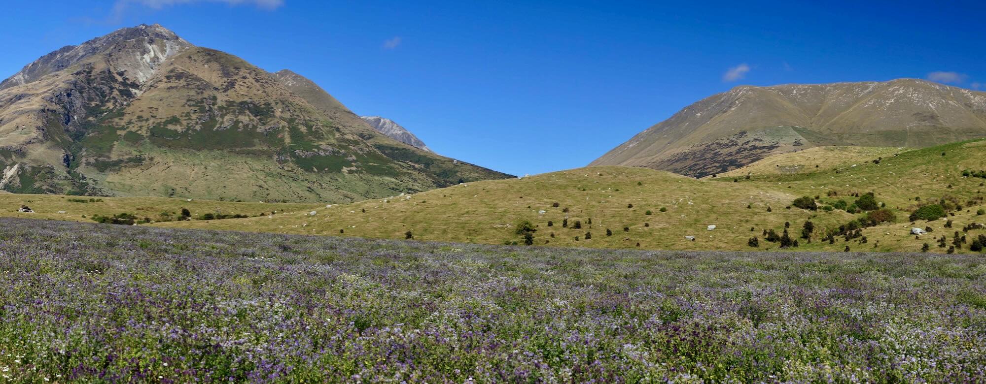
the one long climb on the Von Road

the Von Road south of the big hill – up on the plateau


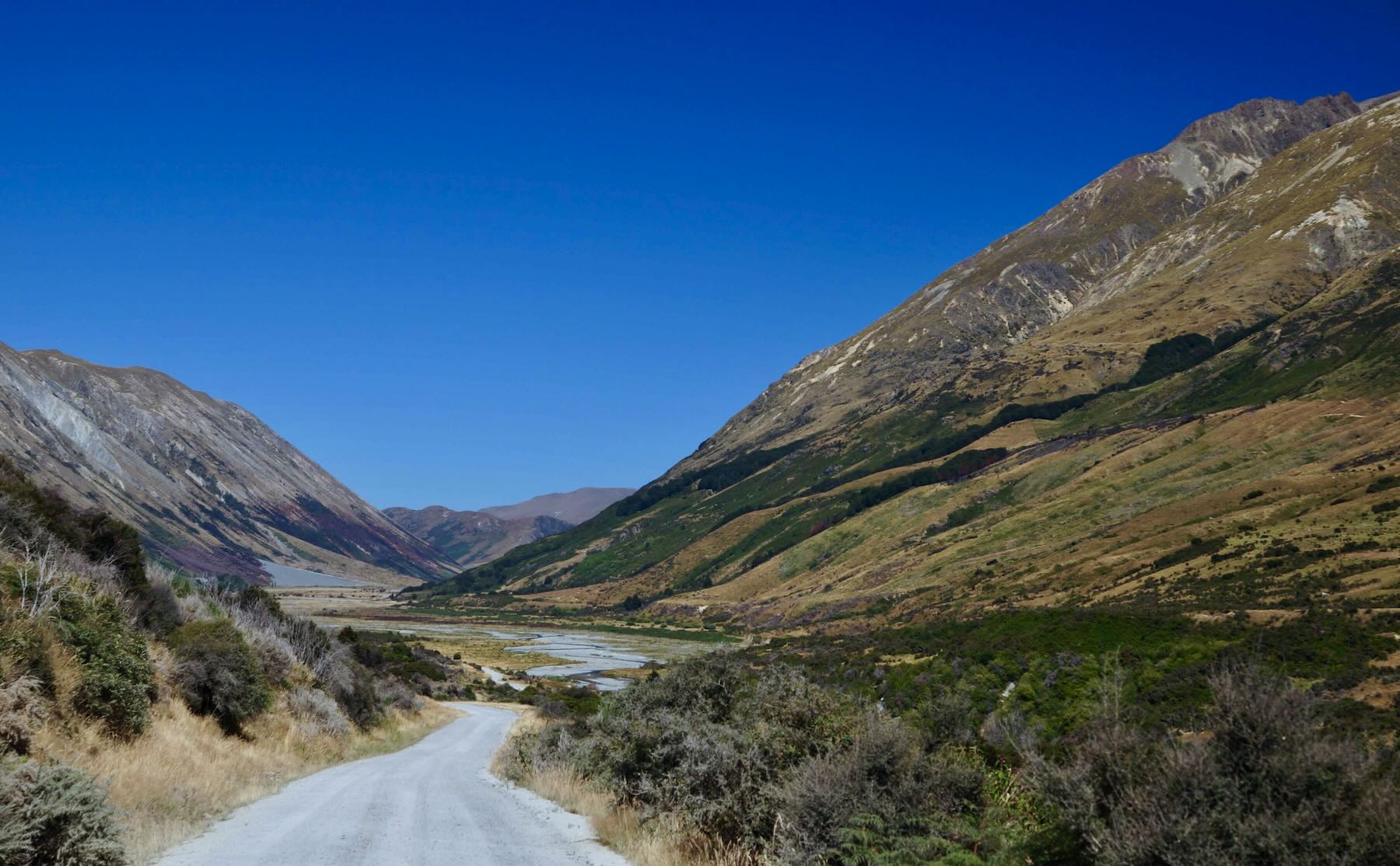
the turn-off to the Mavora Lakes


—————-
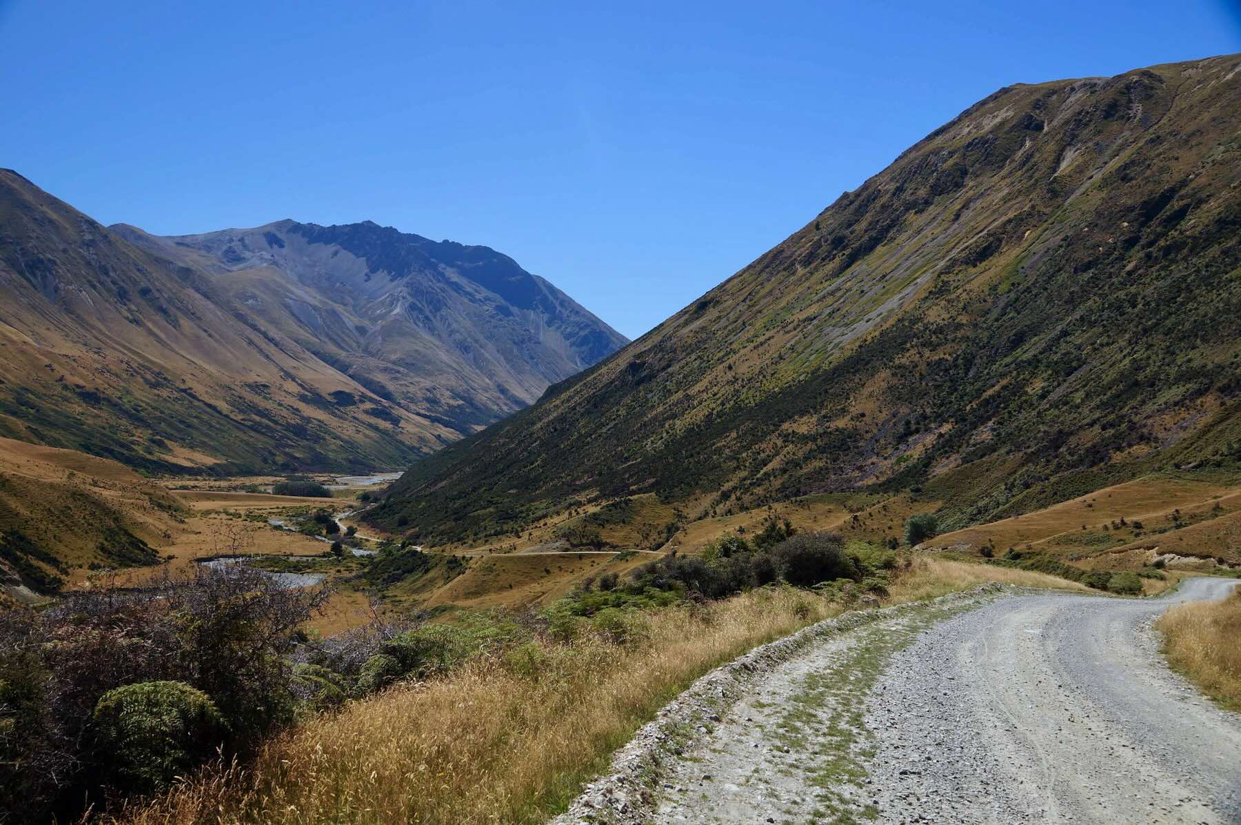
Day 13: the Mavora Lakes Campground to Te Anau
See Day 12 for the map of the route!

I spent a cool night in my tent and sleeping bag, having slipped on socks and any extra clothing to retain more body heat. After filling up my water bottles and treating them with the Steripen, I had a bit of breakfast and was ready to set off. It would be quite overcast in the mooring as I started the 67-kilometer route to Te Anau.
As the elevation profile above shows, the day’s ide was an easy one with a pronounced downward slop.
Somewhere between Mavora Lakes and Te Anau I had slipped from Otego into the Southland Region. A few days later as I left Gore for Dunedin I would be back in Otego.

South Island Regions

North Mavora Lake early mornning mist and fog

the road back down to the junction and the road to Te Anau

Traffic was almost non-existent. I had the road to myself \all the way to where it merges with SH95. Then things picked up a bit. Te Anau has a population of 3000 and serves as a gateway to Fiordland National Park and popular hiking trails like the Milford and Kefler Tracks.


Once found a room for the night in one of the many motels along the lakefront, I went looking for a restaurant which could cater to a vegetarian.
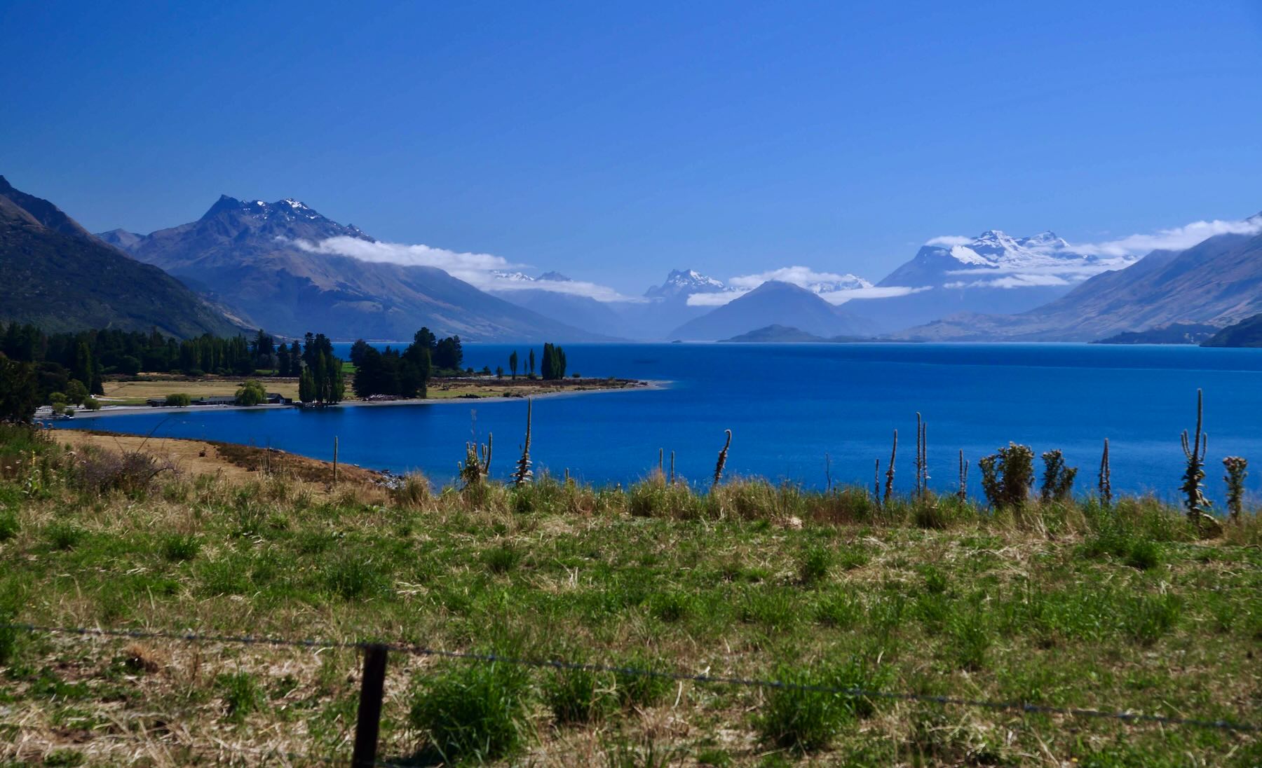
The day ended with some time spent on the shores of Lake Te Anau, the South Island’s largest lake.


—————
Day Fourteen: Te Anau to Tuatapere


————–
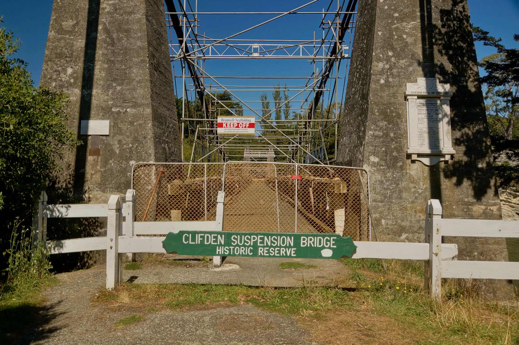
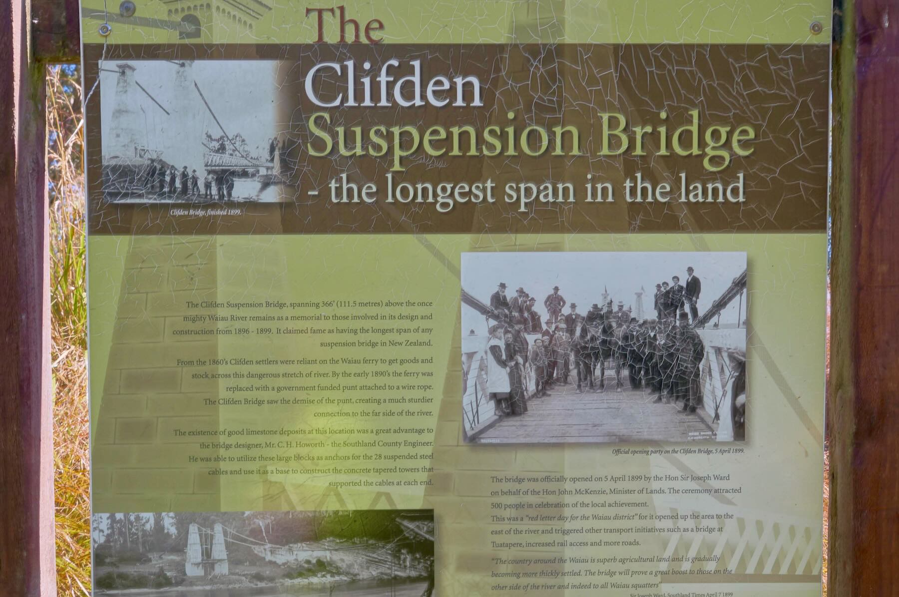
Day 15: Tuatapere to Invercargill


Colcac Bay Road and shore line

a wee break off SH99 in Wallacetown for some refreshments


The Victoria Railway Hotel in Invercargill
————–
Day 16: Invercargill to Gore
Next Post: Part 7 – Dunedin And The Otago Peninsula
Bicycling New Zealand’s South Island: Dunedin and the Otago Peninsula
Pingback: Lake Pukaki Really Is That Colour | One Eyebrow Raised
Where’s the rest of the days’ commentary? I was rather enjoying living vicariously through you. It has been a dream of mine to cycle New Zealand but i’m not sure I’ll ever get chance.
Gregory, congrats in reading through all that stuff!
In early spring I got kinda sidetracked with the planning for the just-finished canoe trip. Then I got totally immersed in native Indian pictographs and spent some time learning some rudimentary Ojibway. After that I spent a couple of weeks editing a trekking guide to the Annapurna region. This prompted me to write up a post on the actual Annapurna Circuit! As you can see, I have a short attention span. This fall and early winter promise to be pretty quiet – al least until I start planning a trip to Sri Lanka.
I am definitely going to finish off the post with pix and info from Te Anau down to Invercargill and then over to Dunedin and the Otago Peninsula – if you are not up to cycling it, there is ample public transport that would still allow you to see everything I did. You could spend more time in each town than I did in my whirlwind tour!
Appreciate your reply.
I see you are a very busy man. I only wish I could be so well-traveled. For those of us who cannot venture as far, its nice to be able to live vicariously through postings such as yours. Its been a pleasure.
God-speed and Good fortune to you sir!
Gregory, i just came in the door from a one-hour walk with my dog in my little corner of Toronto. Most days that is all the travel I get! It is nice to hear you’ve enjoyed my posts – Every once in a while I am reminded of a favourite passage – poem 47 – in the Tao Te Ching:
Without taking a step outdoors
You know the whole World.
Without taking a look out the window
You see the colour of the sky.
The more you experience,
The less you know.
The sage wanders without knowing,
Looks without seeing,
Accomplishes without acting.
We are all fellow-travellers! God-speed and Good fortune to you too, sir!
Pingback: Bicycling South Island New Zealand: Part One – Planning A Three-Week Route | ramblin' boy
Hey. I am from Ottawa an am heading on a solo cycling trip to NZ in March. Thanks for the posts. Very helpful with my planning. Any other tips?
parks_girl, March will be great. The new school year begins in early February so the roads quieten down a bit after that. South Island is definitely the first choice of most cyclists though I am sure North Island has more than a few great stretches. I did decide that maybe the traffic on North Island is more than I wanted to deal with so I ended up forgoing the bike trip for a more touristy non-cycling visit to Myanmar.
Re: tips. I dunno…any specific concerns or questions? I do remember wishing I had brought my handlebar mirror along; I balked (stupidly!) at paying $40. for one in Christchurch so I did the whole trip without a mirror. Who knows – maybe it was best not knowing what was coming! I did get off the road a few times and let the traffic go by, especially on hill climbs.
You still have a couple of months to up your fitness level a notch or two. It’ll make the trip itself that much more enjoyable. Even if you’re going alone, you will meet as many fellow cyclists as you care to stop and talk to and maybe cycle with. Have a great time.
Thx. I will be sticking to the South island and have almost 6 weeks to explore. This should allow me the time to take a few days here and there to hike (e.g. Milford Sound) or just relax/recover! I was counting on x-country skiing to keep my fitness levels up but the lack of snow means I have had to resort to the gym. Good to know that there will be lots of other cyclists to connect with. I have done lots many cycling trips but this is my first long one on my own.
hi there
this post has been so helpful! I am planning the same route from Walter Peak to Te Anau.. but I have heard stories that the quality of the mavora lakes road can be very variable and places can be washboarded.. have you found this on your trip because you photos would indicate its a pretty good road all the way? Would appreciate your feedback. Cheers!
Anne
Anne, the road is a gravel (dirt) road that vehicles make use of on a regular basis. For a minor roadway, it is in fine shape and will not be an issue for you on your bicycle! (I had 32mm tires on my bike.)
The one problem I experienced was inhaling the road dust generated by vehicles as they passed by on the road. It had not rained on South Island for a month so you can imagine how dry it was! Also, you will probably have to divide your ride into two days – I tented at the camp site on the lake about half-way between Walter Peak and Te Anau. The ride from Te Anau to Invercargill was an easy one – fairly flat with little traffic and nice views.
Enjoy your ride when it comes – this bit of road was one of the ones I still remember from my ride down South Island.
Thanks :) and yes I will have to as there is no way I will do it in one go. nor do I want to as the Mavora lakes look beautiful so I will want to spend some time there :)